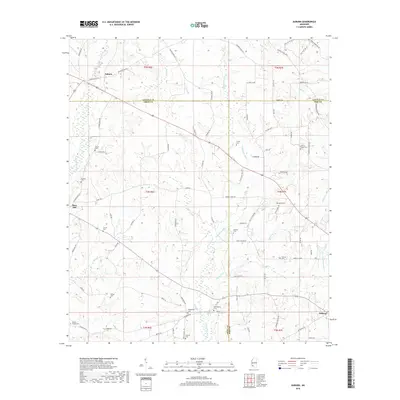
2018 Map of Auburn
USGS Topo · Published 2018About this map
Auburn and the surrounding countryside near the borders of Amite, Lincoln, and Pike Counties are defined by a network of small family cemeteries and meandering creek beds. This modern survey illustrates the persistent rural character of the region, where small settlements like Mars Hill and Oakland remain anchored by local history and family lineages. The landscape is bisected by the Tangipahoa River, which is joined by numerous tributaries including Pevine Cr, Haymans Cr, and Cobb Br. A significant concentration of burial sites, such as Johnson Chapel Cem and Whittington Cem, provides essential data for genealogists tracing ancestors in this part of Mississippi. The road network, including Old Brookhaven Rd and Shell Olive Field Rd, follows the undulating terrain of the river valley, connecting these small communities and isolated homesteads.
Find a feature on this map
91 named features on this map. Tap any name to fly to it.
Don’t see what you’re looking for? This feature index may not catch every label — zoom into the map to look around manually.
Map Details
Editions of this 2018 Auburn Map
This is the sole edition of this map. No revisions or reprints were ever made.
Other maps of this area

1953 · Natchez
USGS Topo · 1:250,000

1956 · Natchez
USGS Topo · 1:250,000

1959 · Natchez
USGS Topo · 1:250,000

1972 · West Lincoln
USGS Topo · 1:24,000

1972 · Smithdale
USGS Topo · 1:24,000

1972 · Little Springs
USGS Topo · 1:24,000

1972 · Auburn
USGS Topo · 1:24,000

1972 · Bogue Chitto
USGS Topo · 1:24,000

1972 · McComb South
USGS Topo · 1:24,000

1972 · Peoria
USGS Topo · 1:24,000