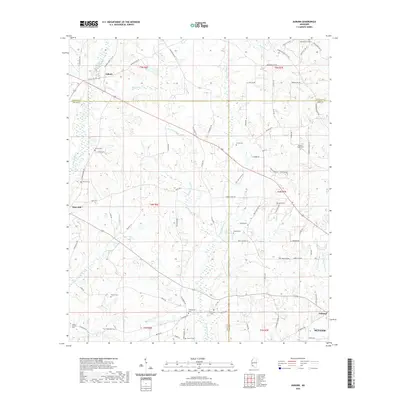
2020 Map of Auburn
USGS Topo · Published 2020About this map
Auburn and Mars Hill anchor a landscape defined by the drainage basins of the E Fork Amite River and the Tangipahoa River. Located at the intersection of Amite, Lincoln, and Pike counties, this territory is marked by numerous family and community burial grounds, such as Montgomery Cem and Johnson Chapel Cem, which reflect the area's deep-rooted settlement history. The network of rural routes like Jackson Liberty Dr SW and Chisholm Rd connect scattered homesteads across a dissected terrain of creeks and branches, including Adam Cr and McGehee Cr. In the southeast, the approach to Mccomb and the settlement of Oakland indicates a shift toward more concentrated development along the Little Tangipahoa River. The concentration of sites like Whittington Cem and Everett Cem provides valuable points of interest for genealogical research in this tri-county border region.
Find a feature on this map
94 named features on this map. Tap any name to fly to it.
Don’t see what you’re looking for? This feature index may not catch every label — zoom into the map to look around manually.
Map Details
Editions of this 2020 Auburn Map
This is the sole edition of this map. No revisions or reprints were ever made.
Other maps of this area

1953 · Natchez
USGS Topo · 1:250,000

1956 · Natchez
USGS Topo · 1:250,000

1959 · Natchez
USGS Topo · 1:250,000

1972 · West Lincoln
USGS Topo · 1:24,000

1972 · Smithdale
USGS Topo · 1:24,000

1972 · Little Springs
USGS Topo · 1:24,000

1972 · Auburn
USGS Topo · 1:24,000

1972 · Bogue Chitto
USGS Topo · 1:24,000

1972 · McComb South
USGS Topo · 1:24,000

1972 · Peoria
USGS Topo · 1:24,000