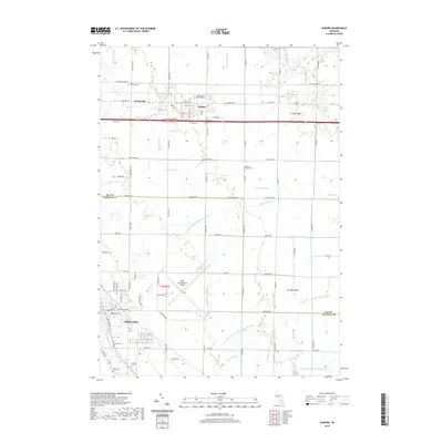
2019 Map of Auburn
USGS Topo · Published 2019About this map
The town of Auburn sits at the center of this drainage-rich landscape where the Saginaw and Bay County lines meet. Agriculture and transport define the area, anchored by the crossroads at Fisherville and the expansive grounds of MBS International Airport. The terrain is defined by an intricate network of man-made and natural waterways, including the Tittabawassee River, the Kawkawlin River, and numerous irrigation systems like the Kochville and Frankenlust Drain. Genealogists will find a high concentration of burial sites throughout the rural sections, such as Saint Anthony Cem near the northern boundary and Vasold Cem and Jacquith Cem situated closer to the settlement of Freeland. This detailed survey shows the intersection of suburban growth and traditional farm plots as they existed in the late 2010s.
Find a feature on this map
96 named features on this map. Tap any name to fly to it.
Don’t see what you’re looking for? This feature index may not catch every label — zoom into the map to look around manually.
Map Details
Editions of this 2019 Auburn Map
This is the sole edition of this map. No revisions or reprints were ever made.
Other maps of this area

1916 · Bay City
USGS Topo · 1:62,500

1917 · St. Charles
USGS Topo · 1:62,500

1919 · Bay City
USGS Topo · 1:62,500

1919 · Saginaw
USGS Topo · 1:62,500

1941 · Saginaw
USGS Topo · 1:62,500

1943 · Bay City
USGS Topo · 1:62,500

1943 · Saginaw
USGS Topo · 1:62,500

1943 · St. Charles
USGS Topo · 1:62,500

1954 · Midland
USGS Topo · 1:250,000

1954 · Flint
USGS Topo · 1:250,000