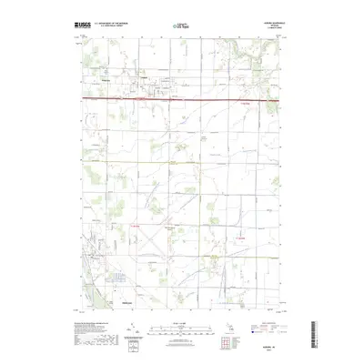
2023 Map of Auburn
USGS Topo · Published 2023About this map
Auburn sits at the intersection of local industry and rural heritage in this part of Michigan, where the northern reaches of the Tittabawassee River basin meet the complex drainage systems of the Squaconning Creek. The landscape is defined by its agricultural and transit role, notably centered around the MBS International Airport and the transition between Bay and Saginaw counties. For genealogists, the map is remarkably detailed in its recording of local burials, from the Lutheran Home Cem to the Vasold Cem near Freeland.
Find a feature on this map
73 named features on this map. Tap any name to fly to it.
Don’t see what you’re looking for? This feature index may not catch every label — zoom into the map to look around manually.
Map Details
Editions of this 2023 Auburn Map
This is the sole edition of this map. No revisions or reprints were ever made.
Other maps of this area

1916 · Bay City
USGS Topo · 1:62,500

1917 · St. Charles
USGS Topo · 1:62,500

1919 · Bay City
USGS Topo · 1:62,500

1919 · Saginaw
USGS Topo · 1:62,500

1941 · Saginaw
USGS Topo · 1:62,500

1943 · Bay City
USGS Topo · 1:62,500

1943 · Saginaw
USGS Topo · 1:62,500

1943 · St. Charles
USGS Topo · 1:62,500

1954 · Midland
USGS Topo · 1:250,000

1954 · Flint
USGS Topo · 1:250,000
Featured Places
- Auburn, MI
- Kochville Township, MI
- Frankenlust Township, MI
- Monitor Township, MI
- Tittabawassee Township, MI