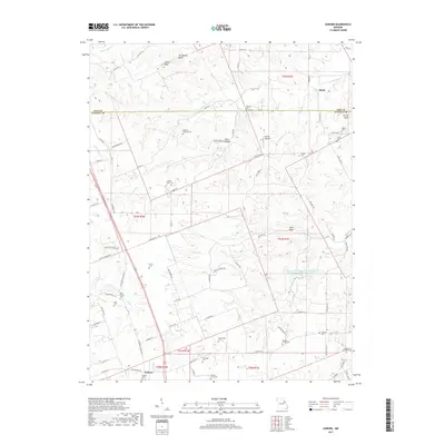
2017 Map of Auburn
USGS Topo · Published 2017About this map
The boundary between Pike and Lincoln Counties serves as a central axis for this rural landscape, which is densely populated with family burial grounds and small community landmarks. Genealogists will find a high concentration of preserved sites including Elsberry Cem, Auburn Cem, and the Mitchell-Reynolds Cem, alongside several others that mark the heritage of the Auburn and Sledd areas. The terrain is defined by prominent elevations such as Tedlock Knob, Springston Knob, and Purtle Knob, which overlook a network of creek drainages.
Find a feature on this map
92 named features on this map. Tap any name to fly to it.
Don’t see what you’re looking for? This feature index may not catch every label — zoom into the map to look around manually.
Map Details
Editions of this 2017 Auburn Map
This is the sole edition of this map. No revisions or reprints were ever made.
Other maps of this area

1890 · Louisiana
USGS Topo · 1:125,000

1930 · Nebo
USGS Topo · 1:62,500

1934 · Nebo
USGS Topo · 1:48,000

1934 · Elsberry
USGS Topo · 1:48,000

1937 · Silex
USGS Topo · 1:62,500

1937 · Bowling Green
USGS Topo · 1:62,500

1939 · Silex
USGS Topo · 1:48,000

1940 · Bowling Green
USGS Topo · 1:62,500

1942 · Nebo
USGS Topo · 1:62,500

1942 · Elsberry
USGS Topo · 1:62,500