
1961 Map of Augusta
USGS Topo · Published 1962About this map
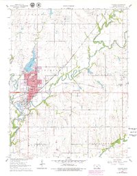
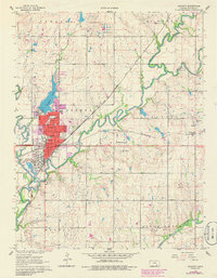
Augusta serves as a major rail and industrial hub in Butler County during the early 1960s, situated at the confluence of the Whitewater River and the Walnut River. The city's landscape is heavily influenced by the petroleum industry, evidenced by a massive Tank Farm to the north and a large Oil Refinery on the southwestern edge of town. This industrial presence is balanced by community landmarks like Garvin Park and Augusta Lake. The infrastructure of the era is clearly marked by the Atchison Topeka and Santa Fe and St Louis San Francisco railroads crossing the territory. Beyond the urban grid, the map records rural life through a network of country schools such as Silverton Sch and Tadlock Sch, and the small settlement of Haverhill to the east.
Find a feature on this map
47 named features on this map. Tap any name to fly to it.
Don’t see what you’re looking for? This feature index may not catch every label — zoom into the map to look around manually.
Map Details
Editions of this 1961 Augusta Map
3 editions found
Other maps of this area

1888 · Eldorado
USGS Topo · 1:125,000

1889 · Wichita
USGS Topo · 1:125,000

1894 · Wichita
USGS Topo · 1:125,000

1955 · Santa Fe Lake
USGS Topo · 1:24,000

1955 · Benton
USGS Topo · 1:24,000

1955 · Douglass
USGS Topo · 1:24,000

1955 · Wichita
USGS Topo · 1:250,000

1958 · Wichita
USGS Topo · 1:250,000

1961 · El Dorado
USGS Topo · 1:24,000

1961 · Gordon
USGS Topo · 1:24,000