
Loading...
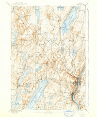
Loading map...1941 Map of Augusta
USGS Topo · Published 1956About this map
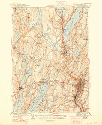
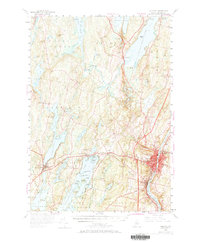
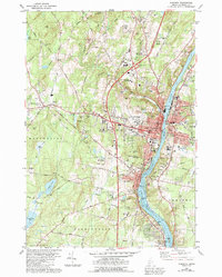
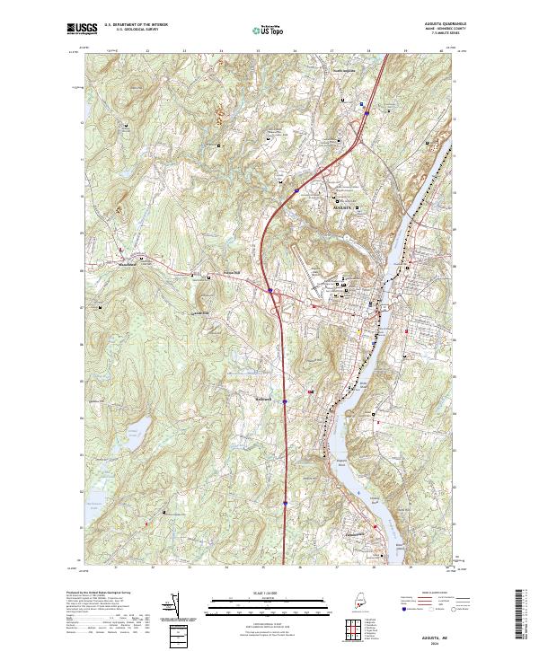
The Kennebec River flows through the heart of the state capital in the early 1940s, anchoring a landscape defined by its glacial lakes and emerging infrastructure. Augusta and Hallowell appear at a pivotal moment, showing the State Hospital and an Airport adjacent to the river's eastern bank. The Maine Central railroad corridor tracks through the hills, connecting rural outposts like Readfield Depot and Winthrop to the commercial center.
Find a feature on this map
110 named features on this map. Tap any name to fly to it.
Don’t see what you’re looking for? This feature index may not catch every label — zoom into the map to look around manually.
Map Details
Date Portrayed1941
Date Published1956
PublisherU.S. Geological Survey
Map TypeTopographic
Scale1:62500
Physical Dimensions17 x 20.9 inches
Editions of this 1941 Augusta Map
This is the sole edition of this map. No revisions or reprints were ever made.
Historical Maps of Pelton Hill Through Time
7 maps found

Featured Locations
Source Details
SourceU.S. Geological Survey
CopyrightPublic Domain