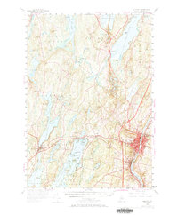
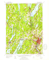
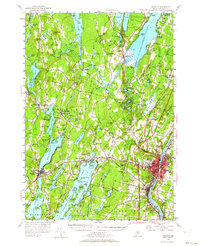
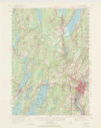
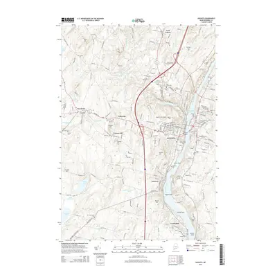
1956 Map of Augusta
USGS Topo · Published 1969About this map
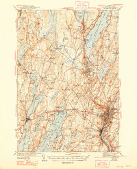
The Kennebec River corridor defines this mid-century survey of the Maine capital and its surrounding lake country. While the city of Augusta and the hills of Hallowell command the eastern edge, the landscape opens westward into a complex network of glacial water bodies. Settlements like Manchester and East Winthrop are centers of community life, supported by rural institutions such as the Old South Ch and Belgrade Central Sch.
Find a feature on this map
94 named features on this map. Tap any name to fly to it.
Don’t see what you’re looking for? This feature index may not catch every label — zoom into the map to look around manually.
Map Details
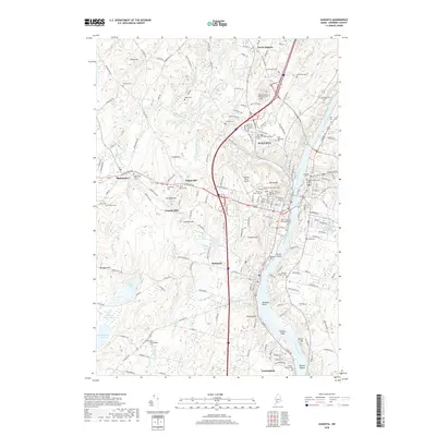
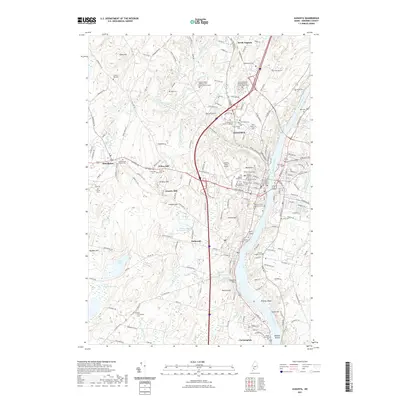
Editions of this 1956 Augusta Map
4 editions found
Historical Maps of Augusta Through Time
11 maps found
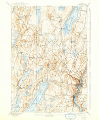
1892 Augusta
Kennebec County, ME

1941 Augusta
Kennebec County, ME
1943 Augusta
Kennebec County, ME
1956 Augusta
Kennebec County, ME
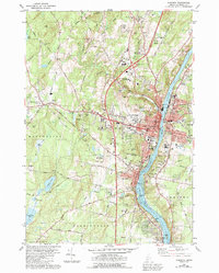
1980 Augusta
Kennebec County, ME

1984 Augusta
Kennebec County, ME
2011 Augusta
Kennebec County, ME
2014 Augusta
Kennebec County, ME
2018 Augusta
Kennebec County, ME
2021 Augusta
Kennebec County, ME
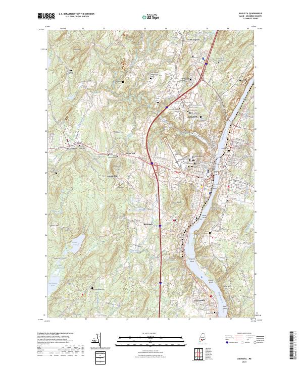
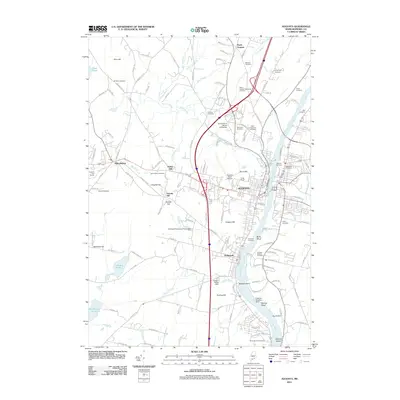
2024 Augusta
Kennebec County, ME