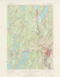
1956 Map of Augusta
USGS Topo · Published 1969About this map
The Kennebec River valley in the mid-1950s is defined here by the density of the state capital and the expansive lake systems to the west. Augusta and Hallowell serve as the primary urban anchors, featuring the State Hospital and State School for Girls, while the State Airport marks the era's growing infrastructure. The landscape is interconnected by the Maine Central railroad and a network of rural schoolhouses and churches that speak to the region's 19th-century settlement patterns, such as the Old Sidney Holmes Sch and Old South Ch.
Find a feature on this map
115 named features on this map. Tap any name to fly to it.
Don’t see what you’re looking for? This feature index may not catch every label — zoom into the map to look around manually.
Map Details
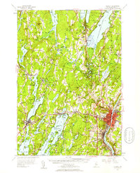
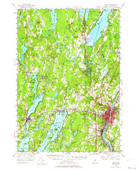
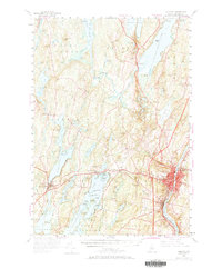
Editions of this 1956 Augusta Map
4 editions found
Other maps of this area

1892 · Gardiner
USGS Topo · 1:62,500

1892 · Waterville
USGS Topo · 1:62,500

1892 · Augusta
USGS Topo · 1:62,500

1893 · Vassalboro
USGS Topo · 1:62,500

1893 · Wiscasset
USGS Topo · 1:62,500

1894 · Norridgewock
USGS Topo · 1:62,500

1898 · Norridgewock
USGS Topo · 1:62,500

1898 · Vassalboro
USGS Topo · 1:62,500

1908 · Lewiston
USGS Topo · 1:62,500

1910 · Livermore
USGS Topo · 1:62,500