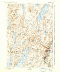
1892 Map of Augusta
USGS Topo · Published 1942About this map
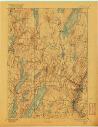
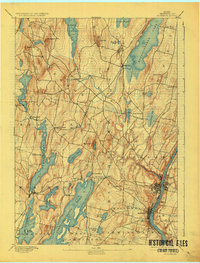
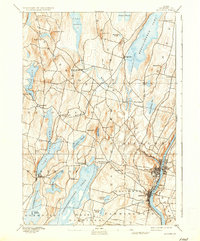
The Kennebec River corridor defines this late 19th-century landscape, anchoring the state capital and the industrial hub of Hallowell. This 1890 survey reflects a period when the Maine Central Railroad served as the primary artery for commerce and travel, winding through the hills between Belgrade and Winthrop. The region's intricate network of water bodies, including the expansive Messalonskee Lake and Maranacook Lake, illustrates the geography that supported early lakeside settlements and agriculture. In the western portion of the sheet, higher elevations like Kents Hill and Monks Hill overlook scattered villages such as Readfield Depot and East Winthrop. This reconnaissance-level survey by Marcus Baker and Henry Gannett provides a record of the road systems and town boundaries before the significant infrastructure changes of the 20th century.
Find a feature on this map
55 named features on this map. Tap any name to fly to it.
Don’t see what you’re looking for? This feature index may not catch every label — zoom into the map to look around manually.
Map Details
Editions of this 1892 Augusta Map
8 editions found
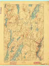
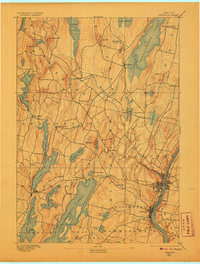
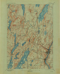
Other maps of this area

1892 · Gardiner
USGS Topo · 1:62,500

1892 · Waterville
USGS Topo · 1:62,500

1892 · Augusta
USGS Topo · 1:62,500

1893 · Vassalboro
USGS Topo · 1:62,500

1893 · Wiscasset
USGS Topo · 1:62,500

1894 · Norridgewock
USGS Topo · 1:62,500

1898 · Norridgewock
USGS Topo · 1:62,500

1898 · Vassalboro
USGS Topo · 1:62,500

1908 · Lewiston
USGS Topo · 1:62,500

1910 · Livermore
USGS Topo · 1:62,500