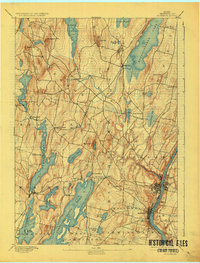
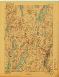
1892 Map of Augusta
USGS Topo · Published 1925About this map
The Kennebec River corridor defines the eastern edge of this late 19th-century landscape, where the state capital of Augusta and neighboring Hallowell serve as industrial and political hubs. Surveyed in 1890, the map illustrates an era when the Central Maine Railroad provided the primary inland pulse, connecting lakeside settlements like Readfield Depot and Belgrade to larger markets.
Find a feature on this map
62 named features on this map. Tap any name to fly to it.
Don’t see what you’re looking for? This feature index may not catch every label — zoom into the map to look around manually.
Map Details
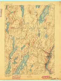
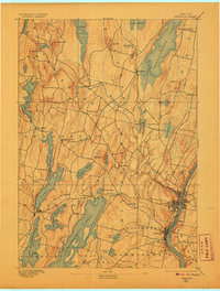
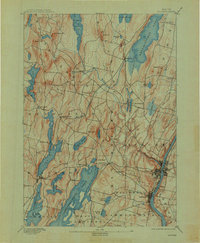
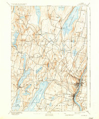
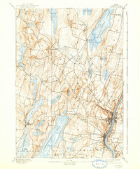
Editions of this 1892 Augusta Map
8 editions found
Other maps of this area

1892 · Gardiner
USGS Topo · 1:62,500

1892 · Waterville
USGS Topo · 1:62,500

1892 · Augusta
USGS Topo · 1:62,500

1893 · Vassalboro
USGS Topo · 1:62,500

1893 · Wiscasset
USGS Topo · 1:62,500

1894 · Norridgewock
USGS Topo · 1:62,500

1898 · Norridgewock
USGS Topo · 1:62,500

1898 · Vassalboro
USGS Topo · 1:62,500

1908 · Lewiston
USGS Topo · 1:62,500

1910 · Livermore
USGS Topo · 1:62,500