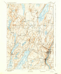
1892 Map of Augusta
USGS Topo · Published 1936About this map
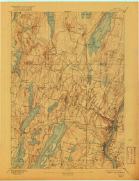
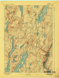
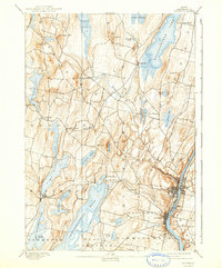
The Kennebec River corridor anchors this 1890s survey, showing the state capital of Augusta and the industrial hub of Hallowell at a time of peak river-and-rail connectivity. The Maine Central Railroad weaves through the central hills, linking smaller settlements like Readfield Depot and Belgrade to the larger riverfront markets. To the west, the landscape transitions into a dense network of interconnected waters, including the expansive Cobbosseecontee Pond, Maranacook Lake, and Annabessacook Lake. These water bodies are interspersed with established community centers like Winthrop and Kents Hill. The map reveals a highly developed nineteenth-century interior, where local prominence is marked by family-named terrain like Monks Hill and Lord Hill, while the Great Sidney Bog remains a distinctive untouched feature in the eastern highlands.
Find a feature on this map
56 named features on this map. Tap any name to fly to it.
Don’t see what you’re looking for? This feature index may not catch every label — zoom into the map to look around manually.
Map Details
Editions of this 1892 Augusta Map
8 editions found
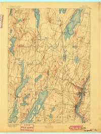
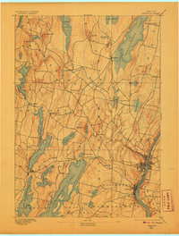
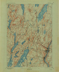
Other maps of this area

1892 · Gardiner
USGS Topo · 1:62,500

1892 · Waterville
USGS Topo · 1:62,500

1892 · Augusta
USGS Topo · 1:62,500

1893 · Vassalboro
USGS Topo · 1:62,500

1893 · Wiscasset
USGS Topo · 1:62,500

1894 · Norridgewock
USGS Topo · 1:62,500

1898 · Norridgewock
USGS Topo · 1:62,500

1898 · Vassalboro
USGS Topo · 1:62,500

1908 · Lewiston
USGS Topo · 1:62,500

1910 · Livermore
USGS Topo · 1:62,500