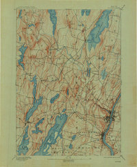
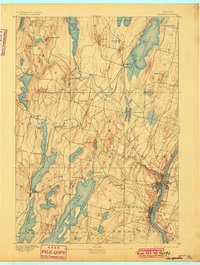
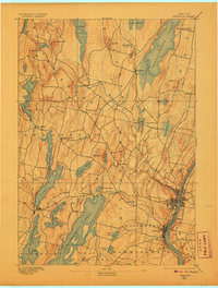
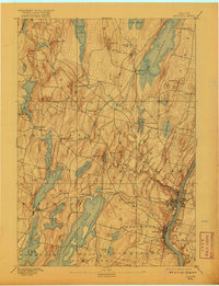
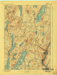
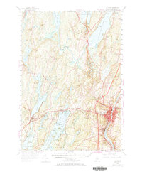
1892 Map of Augusta
USGS Topo · Published 1912About this map
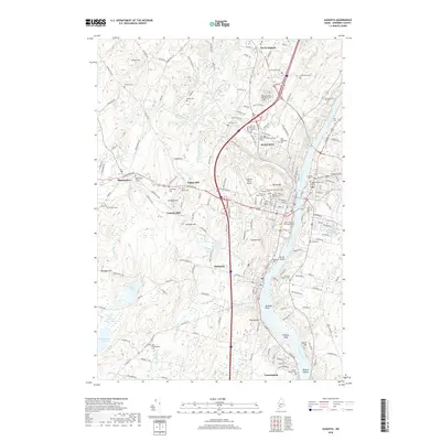
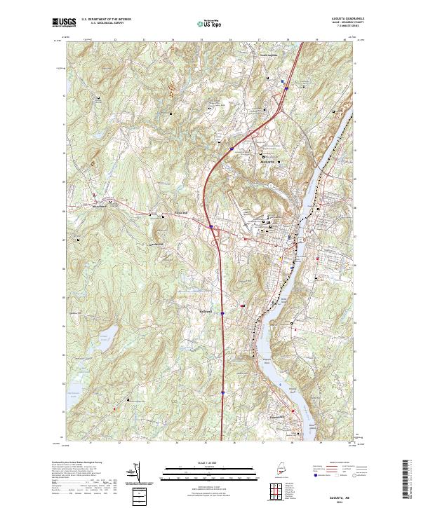
The Kennebec River corridor anchors this late 19th-century survey, flowing through the capital at Augusta and the busy riverside town of Hallowell. The landscape is defined by its massive glacial water bodies, from the long reaches of Lake Maranacook and Annabessacook Lake to the broad Cobbosseecontee Pond. Settlement patterns follow the iron of the Maine Central Railroad, which connects rural hubs like Readfield Depot and Belgrade. High ground like Lithgow Hill and Quaker Hill overlooks a network of smaller ponds and streams, including Belgrade Stream and Gretchen Brook, which historically powered local industry. The map illustrates a developed region where established towns like Manchester and Winthrop flourished alongside early lakeside communities like Lake Shore and Kents Hill.
Find a feature on this map
56 named features on this map. Tap any name to fly to it.
Don’t see what you’re looking for? This feature index may not catch every label — zoom into the map to look around manually.
Map Details
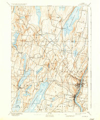
Editions of this 1892 Augusta Map
8 editions found

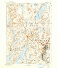
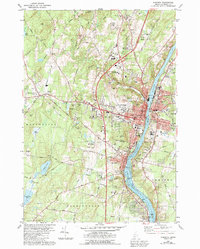
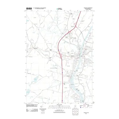
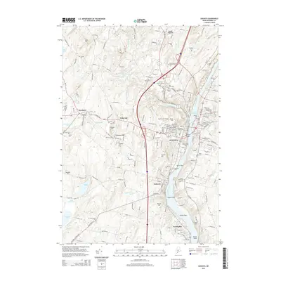
Historical Maps of Augusta Through Time
11 maps found
1892 Augusta
Kennebec County, ME

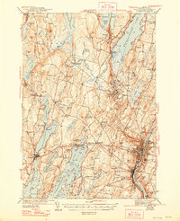
1941 Augusta
Kennebec County, ME
1943 Augusta
Kennebec County, ME
1956 Augusta
Kennebec County, ME
1980 Augusta
Kennebec County, ME

1984 Augusta
Kennebec County, ME
2011 Augusta
Kennebec County, ME
2014 Augusta
Kennebec County, ME
2018 Augusta
Kennebec County, ME
2021 Augusta
Kennebec County, ME
2024 Augusta
Kennebec County, ME