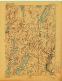
1892 Map of Augusta
USGS Topo · Published 1920About this map
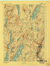
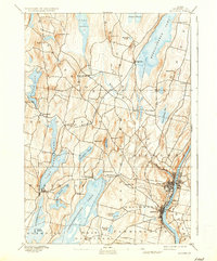
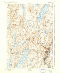
The Kennebec River corridor anchors this late nineteenth-century survey, with the state capital at Augusta and the nearby riverside town of Hallowell serving as primary hubs of activity. The regional economy is defined by the Maine Central Railroad, which winds through the landscape to connect lakeside settlements like Readfield Depot and Belgrade. The topography is characterized by a series of north-south glacial lakes, including the expansive Cobbosseecontee Pond, Messalonskee Lake, and Maranacook Lake. Small hill communities and educational landmarks like Kents Hill appear alongside agricultural zones near Quaker Hill and Monks Hill. This map captures a moment when water-driven industry and rail transport dictated the growth of Kennebec County, showing the dense network of early roads linking isolated farms to the growing urban centers along the river.
Find a feature on this map
55 named features on this map. Tap any name to fly to it.
Don’t see what you’re looking for? This feature index may not catch every label — zoom into the map to look around manually.
Map Details
Editions of this 1892 Augusta Map
8 editions found
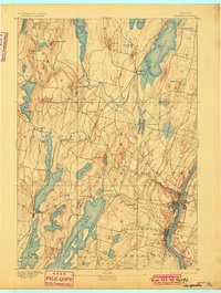
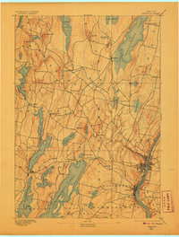
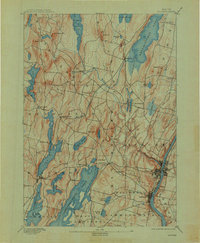
Other maps of this area

1892 · Gardiner
USGS Topo · 1:62,500

1892 · Waterville
USGS Topo · 1:62,500

1892 · Augusta
USGS Topo · 1:62,500

1893 · Vassalboro
USGS Topo · 1:62,500

1893 · Wiscasset
USGS Topo · 1:62,500

1894 · Norridgewock
USGS Topo · 1:62,500

1898 · Norridgewock
USGS Topo · 1:62,500

1898 · Vassalboro
USGS Topo · 1:62,500

1908 · Lewiston
USGS Topo · 1:62,500

1910 · Livermore
USGS Topo · 1:62,500