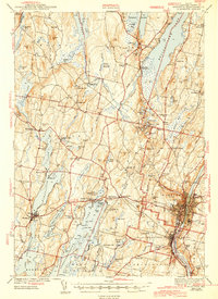
1943 Map of Augusta
USGS Topo · Published 1943About this map
Augusta and the surrounding Kennebec County landscape appear during the early 1940s, a period when the capital city was firmly established as the region's transport and institutional hub. The Maine Central railroad tracks trace a course through the heart of the city and south into Hallowell, connecting the industrial riverfront with the interior lake districts. To the east of the Kennebec River, the State Hospital and Cony Sch mark the civic footprint of the era, while the western landscape is dominated by a chain of large water bodies including Maranacook Lake and Cobbosseecontee Lake.
Find a feature on this map
132 named features on this map. Tap any name to fly to it.
Don’t see what you’re looking for? This feature index may not catch every label — zoom into the map to look around manually.
Map Details
Editions of this 1943 Augusta Map
3 editions found

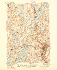
Other maps of this area

1892 · Gardiner
USGS Topo · 1:62,500

1892 · Waterville
USGS Topo · 1:62,500

1892 · Augusta
USGS Topo · 1:62,500

1893 · Vassalboro
USGS Topo · 1:62,500

1893 · Wiscasset
USGS Topo · 1:62,500

1894 · Norridgewock
USGS Topo · 1:62,500

1898 · Norridgewock
USGS Topo · 1:62,500

1898 · Vassalboro
USGS Topo · 1:62,500

1908 · Lewiston
USGS Topo · 1:62,500

1910 · Livermore
USGS Topo · 1:62,500