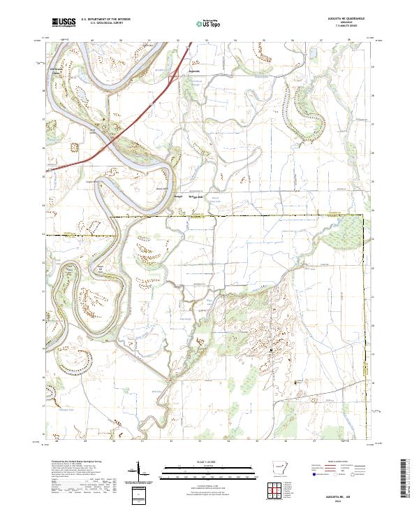
2024 Map of Augusta NE
USGS Topo · Published 2024About this map
The White River carves a winding path through this corner of Arkansas, defining a landscape shaped by oxbow lakes, sloughs, and alluvial deposits. Large bends in the river like Cooper Bend and Baines Bend dominate the western half of the map, while the eastern section is a complex network of wetlands and drainage features including Deadman Slough, Hogpen Slough, and Holly Orchard Brake. This hydrological system influenced early settlement patterns, visible in the placement of community centers and rural landmarks away from the immediate flood zones of the main channel.
Find a feature on this map
66 named features on this map. Tap any name to fly to it.
Don’t see what you’re looking for? This feature index may not catch every label — zoom into the map to look around manually.
Map Details
Editions of this 2024 Augusta NE Map
This is the sole edition of this map. No revisions or reprints were ever made.
Other maps of this area

1935 · Newport
USGS Topo · 1:62,500

1935 · Augusta
USGS Topo · 1:62,500

1935 · Tuckerman
USGS Topo · 1:62,500

1940 · Tilton
USGS Topo · 1:62,500

1953 · Memphis
USGS Topo · 1:250,000

1956 · Memphis
USGS Topo · 1:250,000

1956 · Tilton
USGS Topo · 1:62,500

1957 · Augusta
USGS Topo · 1:62,500
1962 · Olyphant
USGS Topo · 1:24,000

1962 · Newport
USGS Topo · 1:24,000