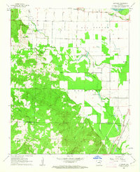
1962 Map of Olyphant
USGS Topo · Published 1963About this map
The White River defines the northern edge of this Independence County landscape, where the fertile lowlands of Oil Trough meet the more complex terrain of Christian Hill and Barren Glaize. This 1962 survey captures the transition from bottomland agriculture to the upland timber and creek valleys, showing a network of secondary roads and family-named cemeteries such as Sanders Cem and Hindman Cem. The southern portion is marked by the Missouri Pacific railroad corridor, which anchors the settlement of Olyphant.
Find a feature on this map
29 named features on this map. Tap any name to fly to it.
Don’t see what you’re looking for? This feature index may not catch every label — zoom into the map to look around manually.
Map Details
Editions of this 1962 Olyphant Map
2 editions found
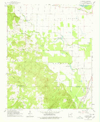
Other maps of this area

1890 · Batesville
USGS Topo · 1:125,000

1891 · Batesville
USGS Topo · 1:125,000

1935 · Newport
USGS Topo · 1:62,500

1935 · Augusta
USGS Topo · 1:62,500

1935 · Bald Knob
USGS Topo · 1:62,500

1942 · Salado
USGS Topo · 1:31,680

1953 · Memphis
USGS Topo · 1:250,000

1956 · Memphis
USGS Topo · 1:250,000
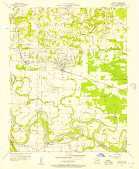
1956 · Newark
USGS Topo · 1:24,000

1957 · Augusta
USGS Topo · 1:62,500