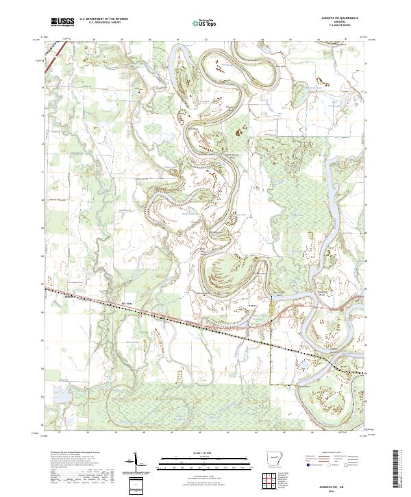
2024 Map of Augusta SW
USGS Topo · Published 2024About this map
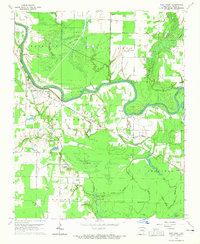
The White River carves a highly sinuous path through the bottomlands of White and Woodruff Counties, creating a complex geography of river bends and oxbow lakes. Settlements like Worden and Rio Vista sit on the periphery of this active floodplain, where the landscape is defined by a dense network of water bodies such as Horseshoe Lake, Eagle Lake, and Big Brushy Lake. The river's historical shifts are recorded in named reaches and points, including Sassafras Reach, Augusta Narrows, and Panther Point, illustrating the dynamic nature of this alluvial environment.
Find a feature on this map
77 named features on this map. Tap any name to fly to it.
Don’t see what you’re looking for? This feature index may not catch every label — zoom into the map to look around manually.
Map Details
Editions of this 2024 Augusta SW Map
This is the sole edition of this map. No revisions or reprints were ever made.
Other maps of this area
1932 · Kensett
USGS Topo · 1:62,500
1935 · Kensett
USGS Topo · 1:62,500
1935 · Augusta
USGS Topo · 1:62,500
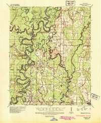
1935 · Gregory
USGS Topo · 1:62,500
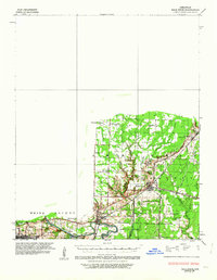
1935 · Bald Knob
USGS Topo · 1:62,500

1953 · Memphis
USGS Topo · 1:250,000

1956 · Memphis
USGS Topo · 1:250,000
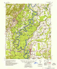
1957 · Augusta
USGS Topo · 1:62,500
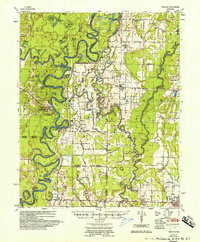
1957 · Gregory
USGS Topo · 1:62,500
1964 · West Point
USGS Topo · 1:24,000