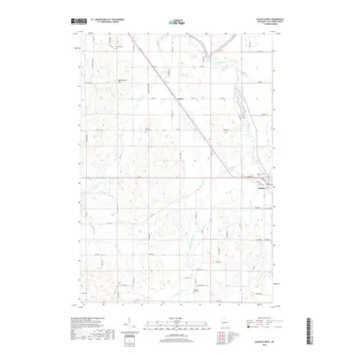
2018 Map of Augusta West
USGS Topo · Published 2018About this map
Augusta anchors the southeastern corner of this region, where the terrain begins to transition into the drainage systems of Bridge Creek and First Trestle Cr. The landscape is defined by its deep agricultural and genealogical history, preserved in sites like Lincoln Cem, Saint Peter Cem, and Thompson Valley Cem. Moving northwest, the settlement of Rodell sits at a crossroads near the headwaters of Bears Grass Cr, while the prominent elevation of Moldenhauer Hill provides a distinct landmark amidst the rolling drainage basins of Scott Valley and Thompson Valley Cr. The northern edge of the map is marked by the winding path of the Eau Claire River and its confluence with Browns Cr. This 2018 survey illustrates a modern road network that still respects the historical placement of rural schools and family plots, offering a clear view of the rural Eau Claire County layout.
Find a feature on this map
66 named features on this map. Tap any name to fly to it.
Don’t see what you’re looking for? This feature index may not catch every label — zoom into the map to look around manually.
Map Details
Editions of this 2018 Augusta West Map
This is the sole edition of this map. No revisions or reprints were ever made.
Other maps of this area

1927 · Strum
USGS Topo · 1:62,500

1930 · Strum
USGS Topo · 1:62,500

1934 · Chippewa Falls
USGS Topo · 1:62,500

1935 · Osseo
USGS Topo · 1:48,000

1936 · Chippewa Falls
USGS Topo · 1:62,500

1940 · Osseo
USGS Topo · 1:62,500

1952 · Cadott
USGS Topo · 1:62,500

1953 · Eau Claire
USGS Topo · 1:250,000

1958 · Eau Claire
USGS Topo · 1:250,000

1964 · Eau Claire
USGS Topo · 1:250,000