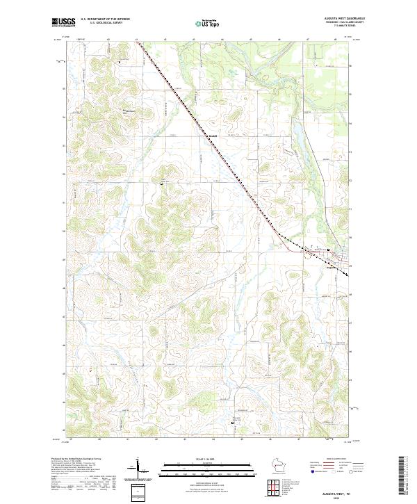
2022 Map of Augusta West
USGS Topo · Published 2022About this map
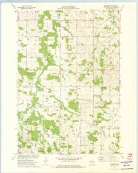
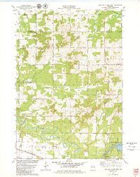
Augusta anchors the southeastern corner of this landscape, where the confluence of Bridge Creek and Browns Cr feeds into the winding Eau Claire River. The terrain is defined by a network of drainages and named valleys, including Scott Valley in the southwest and Thompson Valley Cr to the east. High points like Moldenhauer Hill overlook a rural patchwork of farms and woodlots. Genealogists will find several burial grounds across the townships, including Saint Peter Cem, Lincoln Cem, West-Lawn Cem, and the more remote Thompson Valley Cem. The small settlement of Rodell sits at a central crossroads along the diagonal transit corridor of Co RD V, illustrating the region's enduring agricultural layout and its reliance on the tributary waters of Bears Grass Cr and Rush Cr which cut through the western ridges.
Find a feature on this map
70 named features on this map. Tap any name to fly to it.
Don’t see what you’re looking for? This feature index may not catch every label — zoom into the map to look around manually.
Map Details
Editions of this 2022 Augusta West Map
This is the sole edition of this map. No revisions or reprints were ever made.
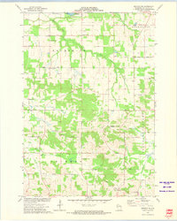
Historical Maps of Augusta Through Time
22 maps found
1972 Eau Claire East
Eau Claire County, WI
1972 Eau Claire West
Eau Claire County, WI
1973 Brackett
Eau Claire County, WI
1973 Cleghorn
Eau Claire County, WI
1973 Mondovi NE
Eau Claire County, WI
1979 Horse Creek
Eau Claire County, WI
1979 Lake Eau Claire East
Eau Claire County, WI
1979 Lake Eau Claire West
Eau Claire County, WI
1979 Simes Creek
Eau Claire County, WI
1984 Augusta East
Eau Claire County, WI
1984 Augusta West
Eau Claire County, WI
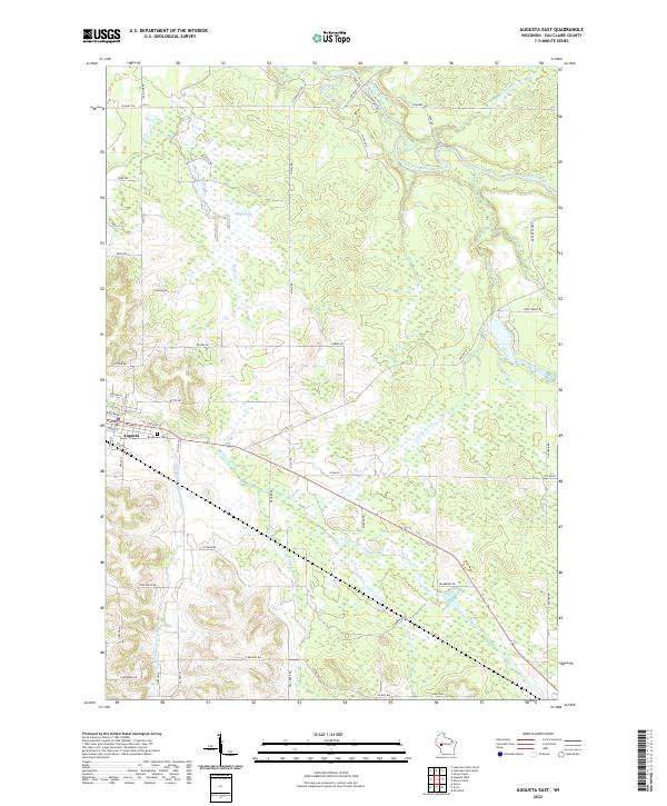
2022 Augusta East
Eau Claire County, WI
2022 Augusta West
Eau Claire County, WI
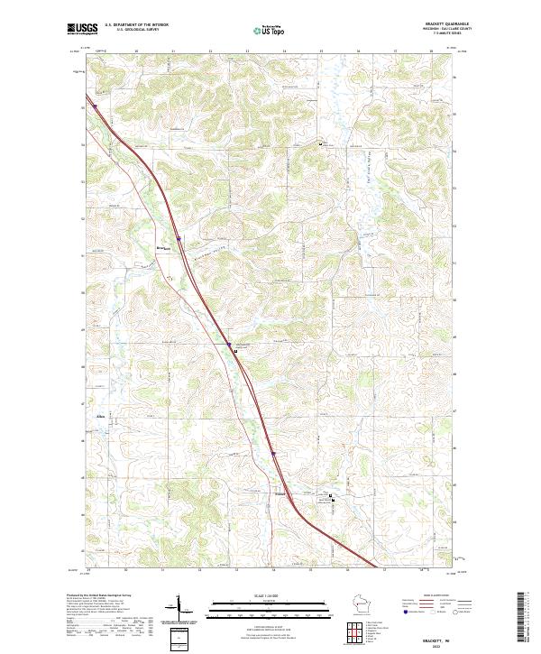
2022 Brackett
Eau Claire County, WI
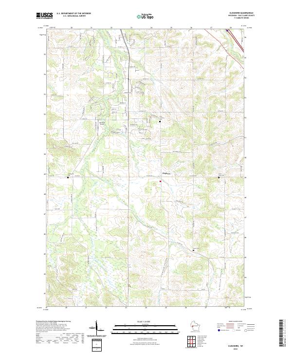
2022 Cleghorn
Eau Claire County, WI
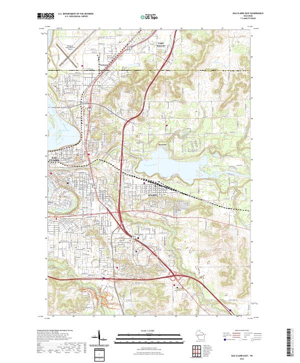
2022 Eau Claire East
Eau Claire County, WI
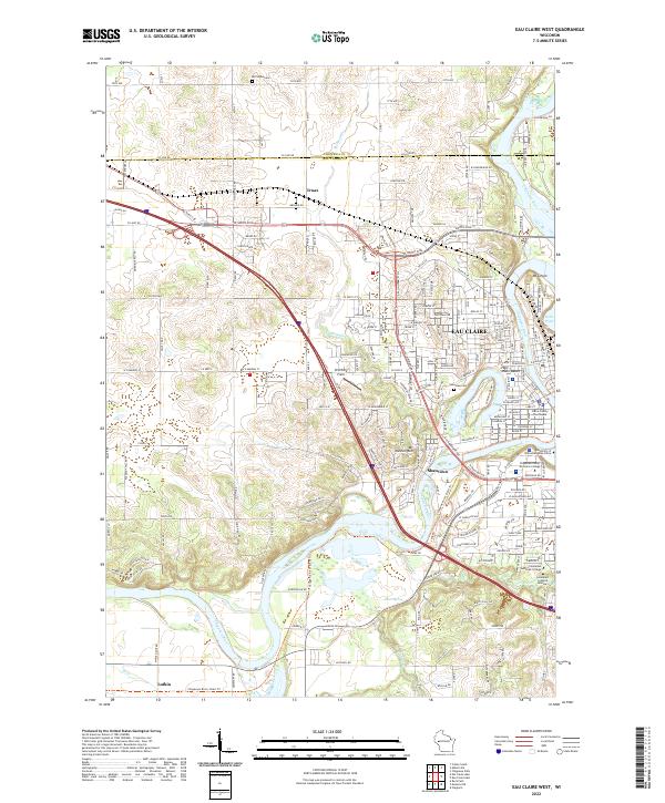
2022 Eau Claire West
Eau Claire County, WI
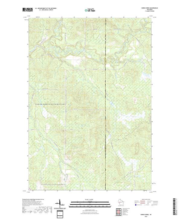
2022 Horse Creek
Eau Claire County, WI
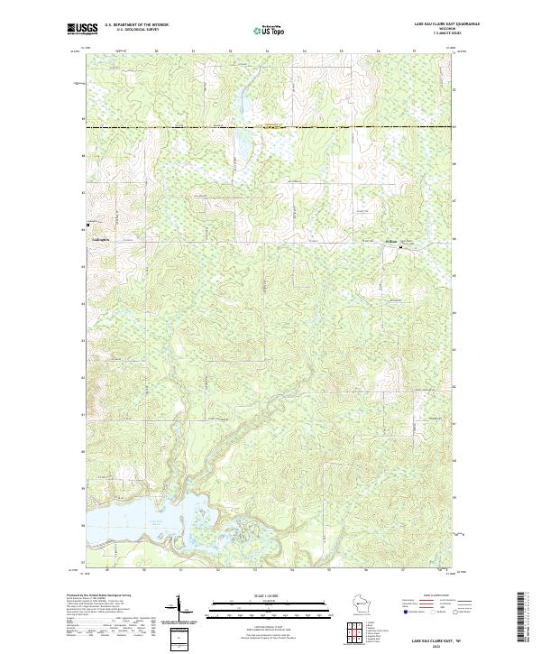
2022 Lake Eau Claire East
Eau Claire County, WI
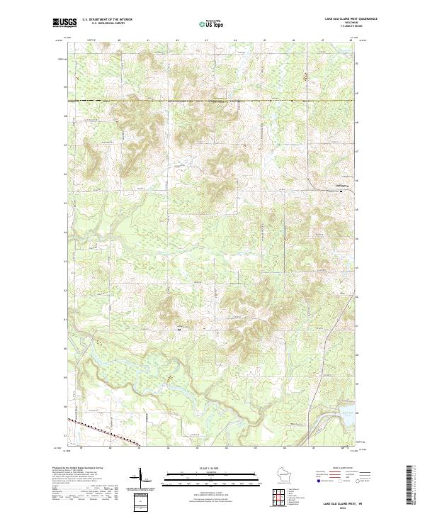
2022 Lake Eau Claire West
Eau Claire County, WI
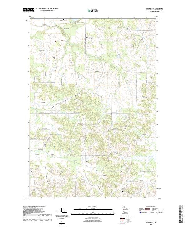
2022 Mondovi NE
Eau Claire County, WI
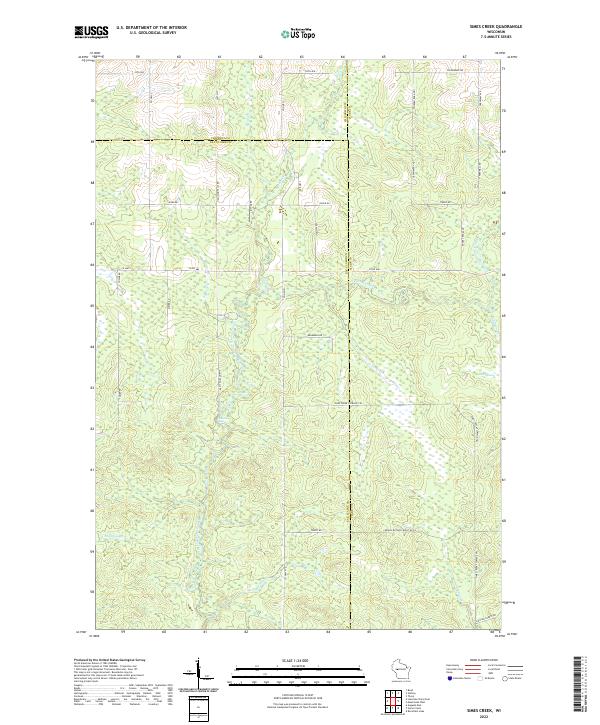
2022 Simes Creek
Eau Claire County, WI