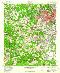
1957 Map of Augusta West
USGS Topo · Published 1960About this map
The western suburbs of Augusta show rapid mid-century expansion in this late 1950s survey, where residential neighborhoods like Forest Hills and Westwick press against the edges of major institutional and military holdings. The sprawling Fort Gordon Military Reservation dominates the southwestern corner of the quadrangle, contrasted by the concentrated medical and aviation infrastructure near the city center, including the Veterans Administration Hospital and Daniel Field.
Find a feature on this map
75 named features on this map. Tap any name to fly to it.
Don’t see what you’re looking for? This feature index may not catch every label — zoom into the map to look around manually.
Map Details
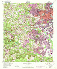
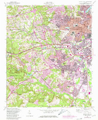
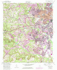
Editions of this 1957 Augusta West Map
4 editions found
Other maps of this area

1892 · Mc Cormick
USGS Topo · 1:125,000

1912 · Mc Cormick
USGS Topo · 1:125,000

1920 · Clarks Hill
USGS Topo · 1:48,000

1921 · Augusta
USGS Topo · 1:62,500

1921 · Clarks Hill
USGS Topo · 1:62,500

1922 · Hephzibah
USGS Topo · 1:62,500

1923 · Warrenville
USGS Topo · 1:48,000

1928 · Warrenville
USGS Topo · 1:62,500

1941 · Clarks Hill
USGS Topo · 1:62,500

1942 · Clarks Hill
USGS Topo · 1:62,500