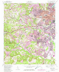
1957 Map of Augusta West
USGS Topo · Published 1981About this map
Augusta expands westward in the late 1950s, a period of transition where the city’s residential grid begins to push into the rolling hills of Richmond County. This transition is anchored by large institutions and public works, including the sprawling Veterans Administration Hospital and the State Training School. The landscape is characterized by a dense network of suburban development intertwined with older rural identifiers like the Georgia Railroad and numerous private ponds such as Rosedale Pond and Lombard Millpond.
Find a feature on this map
67 named features on this map. Tap any name to fly to it.
Don’t see what you’re looking for? This feature index may not catch every label — zoom into the map to look around manually.
Map Details
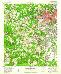
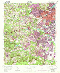
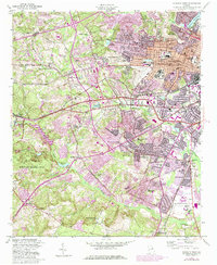
Editions of this 1957 Augusta West Map
4 editions found
Other maps of this area

1892 · Mc Cormick
USGS Topo · 1:125,000

1912 · Mc Cormick
USGS Topo · 1:125,000

1920 · Clarks Hill
USGS Topo · 1:48,000

1921 · Augusta
USGS Topo · 1:62,500

1921 · Clarks Hill
USGS Topo · 1:62,500

1922 · Hephzibah
USGS Topo · 1:62,500

1923 · Warrenville
USGS Topo · 1:48,000

1928 · Warrenville
USGS Topo · 1:62,500

1941 · Clarks Hill
USGS Topo · 1:62,500

1942 · Clarks Hill
USGS Topo · 1:62,500