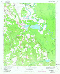
1965 Map of Mechanic Hill
USGS Topo · Published 1981About this map
The Savannah River defines the border between Georgia and South Carolina in this survey, winding past the industrial developments south of Augusta. The landscape is a mix of riverine lowlands and rural uplands, where the Central of Georgia railroad cuts a straight line through the terrain. Evidence of the area's mid-century shift toward heavy industry is clear, most notably at the Industrial Waste Pond and nearby sewage facilities, which contrast with the older agricultural and ecclesiastical patterns of the region. Scattered throughout the southern reaches are vital genealogical landmarks, including Fielding Springs Ch, Union Cem, and Piney Grove Ch. The presence of the Bennock Millpond on Bennock Mill Creek suggests an earlier era of water-powered industry that preceded the modern infrastructure at Nixon and Mechanic Hill.
Find a feature on this map
65 named features on this map. Tap any name to fly to it.
Don’t see what you’re looking for? This feature index may not catch every label — zoom into the map to look around manually.
Map Details
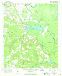
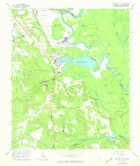
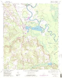
Editions of this 1965 Mechanic Hill Map
4 editions found
Other maps of this area

1919 · Gough
USGS Topo · 1:62,500

1920 · Greens Cut
USGS Topo · 1:62,500

1921 · Augusta
USGS Topo · 1:62,500

1922 · Hephzibah
USGS Topo · 1:62,500

1943 · Greens Cut
USGS Topo · 1:62,500

1943 · Augusta East
USGS Topo · 1:125,000

1943 · Augusta
USGS Topo · 1:62,500

1948 · Hephzibah
USGS Topo · 1:62,500

1948 · Gough
USGS Topo · 1:62,500
1950 · Hephzibah
USGS Topo · 1:24,000