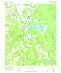
1965 Map of Mechanic Hill
USGS Topo · Published 1973About this map
Mechanic Hill and the surrounding riverfront of Richmond and Burke counties define this landscape during the mid-1960s. The Savannah River winds along the northern and eastern borders, flanked by oxbows and swampy depressions like Hole-in-Swamp and Hardens Dead River. Industrial and infrastructure expansion is evident through the large Industrial Waste Pond and the presence of Bush Field near the northern edge.
Find a feature on this map
66 named features on this map. Tap any name to fly to it.
Don’t see what you’re looking for? This feature index may not catch every label — zoom into the map to look around manually.
Map Details
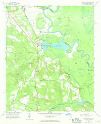
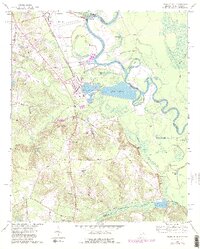
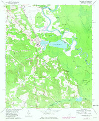
Editions of this 1965 Mechanic Hill Map
4 editions found
Other maps of this area

1919 · Gough
USGS Topo · 1:62,500

1920 · Greens Cut
USGS Topo · 1:62,500

1921 · Augusta
USGS Topo · 1:62,500

1922 · Hephzibah
USGS Topo · 1:62,500

1943 · Greens Cut
USGS Topo · 1:62,500

1943 · Augusta East
USGS Topo · 1:125,000

1943 · Augusta
USGS Topo · 1:62,500

1948 · Hephzibah
USGS Topo · 1:62,500

1948 · Gough
USGS Topo · 1:62,500
1950 · Hephzibah
USGS Topo · 1:24,000