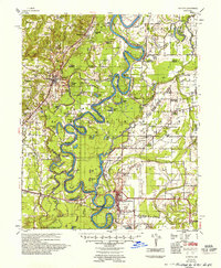
1957 Map of Augusta
USGS Topo · Published 1957About this map
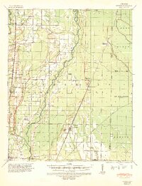
The White River carves a complex, meandering path through this 1950s survey of Woodruff and Jackson counties, defining a landscape dominated by oxbow lakes and seasonal sloughs. The river's dramatic serpentine bends, including Blackbird Bend and Sassafras Reach, dictate the placement of early settlements and agricultural tracts. The Missouri Pacific railroad serves as the secondary spine of the region, connecting the primary town of Augusta with smaller depots like Bradford and Fitzhugh.
Find a feature on this map
114 named features on this map. Tap any name to fly to it.
Don’t see what you’re looking for? This feature index may not catch every label — zoom into the map to look around manually.
Map Details
Editions of this 1957 Augusta Map
This is the sole edition of this map. No revisions or reprints were ever made.
Other maps of this area

1890 · Batesville
USGS Topo · 1:125,000

1891 · Batesville
USGS Topo · 1:125,000
1932 · Kensett
USGS Topo · 1:62,500
1935 · Kensett
USGS Topo · 1:62,500
1935 · Newport
USGS Topo · 1:62,500
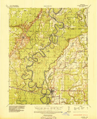
1935 · Augusta
USGS Topo · 1:62,500
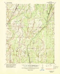
1935 · Tuckerman
USGS Topo · 1:62,500
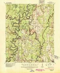
1935 · Gregory
USGS Topo · 1:62,500
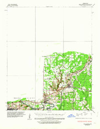
1935 · Bald Knob
USGS Topo · 1:62,500
1939 · Hunter
USGS Topo · 1:62,500