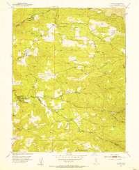
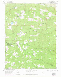
1952 Map of Aukum
USGS Topo · Published 1954About this map
Gold-country history is etched into the landscape along the Middle Fork Cosumnes River and the South Fork Cosumnes River. This mid-century survey reveals a transition from frontier extraction to established rural settlements, featuring a series of family-named landmarks and hard-rock mining sites. The presence of the Lawrence Mill (Site) and the Cedarville (Site) indicates early industrial and residential footprints that had already receded by the 1950s.
Find a feature on this map
47 named features on this map. Tap any name to fly to it.
Don’t see what you’re looking for? This feature index may not catch every label — zoom into the map to look around manually.
Map Details
Editions of this 1952 Aukum Map
5 editions found
Other maps of this area

1889 · Jackson
USGS Topo · 1:125,000

1891 · Placerville
USGS Topo · 1:125,000

1892 · Jackson
USGS Topo · 1:125,000

1892 · Placerville
USGS Topo · 1:125,000

1893 · Placerville
USGS Topo · 1:125,000

1897 · Jackson
USGS Topo · 1:125,000

1902 · Jackson
USGS Topo · 1:125,000

1941 · Sutter Creek
USGS Topo · 1:62,500

1944 · Sutter Creek
USGS Topo · 1:62,500

1947 · Sacramento
USGS Topo · 1:250,000