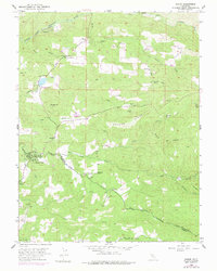
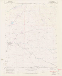
1952 Map of Aukum
USGS Topo · Published 1977About this map
Middle Fork Cosumnes River and the South Fork Cosumnes River define this Sierra Nevada foothills landscape, carving deep canyons through the El Dorado and Amador county borderlands. The 1952 field data reveals a rural economy rooted in ranching and resource extraction, with numerous family-named landmarks like the D'Agostini Ranch and Melsons Corner. Evidence of the region's gold mining heritage is found at the Umatilla Mine, Randalls Mine, and the Golden Treasure Mine, while several tailings sites mark the riverbanks.
Find a feature on this map
48 named features on this map. Tap any name to fly to it.
Don’t see what you’re looking for? This feature index may not catch every label — zoom into the map to look around manually.
Map Details
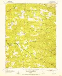
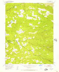
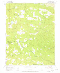
Editions of this 1952 Aukum Map
5 editions found
Other maps of this area

1889 · Jackson
USGS Topo · 1:125,000

1891 · Placerville
USGS Topo · 1:125,000

1892 · Jackson
USGS Topo · 1:125,000

1892 · Placerville
USGS Topo · 1:125,000

1893 · Placerville
USGS Topo · 1:125,000

1897 · Jackson
USGS Topo · 1:125,000

1902 · Jackson
USGS Topo · 1:125,000

1941 · Sutter Creek
USGS Topo · 1:62,500

1944 · Sutter Creek
USGS Topo · 1:62,500

1947 · Sacramento
USGS Topo · 1:250,000