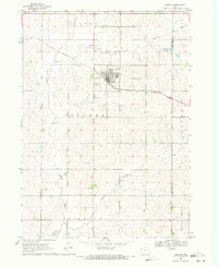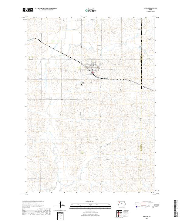
2022 Map of Aurelia
USGS Topo · Published 2022About this map
Aurelia serves as the central hub of this agricultural landscape in eastern Cherokee County, near the boundary with Buena Vista County. The town's grid is anchored by Main St, Walnut St, and Myrtle St, reflecting a well-organized local economy supported by the surrounding farmstead network. To the south, Pleasant Hill Cem marks a significant local historical site, while the Po indicates the town's role as a regional service center. The terrain is defined by the winding course of the Maple River and its tributaries, including Maple Cr and Pitcher Cr. In the northeastern corner, Parson Lake provides a notable hydrographic feature amidst a landscape dominated by a rigorous section-line road system, including routes like Co Hwy C43 and Co Hwy M21.
Find a feature on this map
41 named features on this map. Tap any name to fly to it.
Don’t see what you’re looking for? This feature index may not catch every label — zoom into the map to look around manually.
Map Details
Editions of this 2022 Aurelia Map
This is the sole edition of this map. No revisions or reprints were ever made.
Historical Maps of Aurelia Through Time
6 maps found