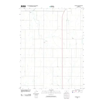
2009 Map of Aurora NW
USGS Topo · Published 2009About this map
Wilcox Cemetery and Hall Cemetery anchor this rural section of Cloud County, illustrating the enduring markers of family history in north-central Kansas. The landscape is defined by the headwaters and tributaries of several drainage systems, including the winding course of Wolf Creek and the divergent paths of West Branch Oak Creek and East Branch Oak Creek. These watercourses carve through the agricultural grid, influencing the placement of local roads like Ivy Rd and Fawn Rd. In the eastern portion of the survey, the Kindel Cemetery serves as another historical landmark for genealogists. The map demonstrates a classic Great Plains settlement pattern where small community cemeteries and seasonal creeks like Coal Creek and Yockey Creek remain the primary features among the sprawling section lines.
Find a feature on this map
26 named features on this map. Tap any name to fly to it.
Don’t see what you’re looking for? This feature index may not catch every label — zoom into the map to look around manually.
Map Details
Editions of this 2009 Aurora NW Map
This is the sole edition of this map. No revisions or reprints were ever made.
Other maps of this area

1892 · Concordia
USGS Topo · 1:125,000

1892 · Minneapolis
USGS Topo · 1:125,000

1952 · Glasco
USGS Topo · 1:24,000

1953 · Glasco NE
USGS Topo · 1:24,000

1955 · Manhattan
USGS Topo · 1:250,000

1956 · Manhattan
USGS Topo · 1:250,000

1957 · Manhattan
USGS Topo · 1:250,000

1964 · Lamar
USGS Topo · 1:24,000

1965 · Aurora
USGS Topo · 1:24,000
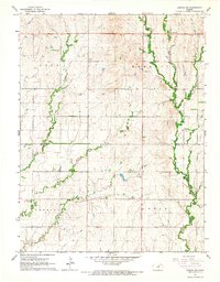
1965 · Aurora SW
USGS Topo · 1:24,000