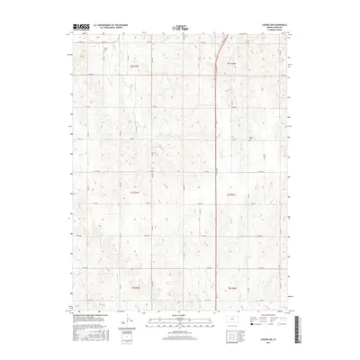
2016 Map of Aurora NW
USGS Topo · Published 2016About this map
Cloud County's rural agricultural landscape is defined by a rhythmic pattern of section-line roads and the branching drainage of several prairie creeks. Small family or community cemeteries including Wilcox Cem, Hall Cem, and Kindel Cem serve as quiet landmarks among the fields, anchoring the area's genealogical history to specific sections of land. The terrain is carved by the headwaters of Wolf Cr, Yockey Cr, and Coal Cr, along with the east and west branches of Oak Creek. This 2016 survey illustrates the persistent grid of the Public Land Survey System, where modern thoroughfares like N 140th Rd and Co Rd 781 intersect with historical boundary lines between Range 4 West and Range 3 West. The map captures a quintessential slice of the Kansas plains, where small-scale drainage systems and local county roads dictate the movement of both water and residents.
Find a feature on this map
46 named features on this map. Tap any name to fly to it.
Don’t see what you’re looking for? This feature index may not catch every label — zoom into the map to look around manually.
Map Details
Editions of this 2016 Aurora NW Map
This is the sole edition of this map. No revisions or reprints were ever made.
Other maps of this area

1892 · Concordia
USGS Topo · 1:125,000

1892 · Minneapolis
USGS Topo · 1:125,000

1952 · Glasco
USGS Topo · 1:24,000

1953 · Glasco NE
USGS Topo · 1:24,000

1955 · Manhattan
USGS Topo · 1:250,000

1956 · Manhattan
USGS Topo · 1:250,000

1957 · Manhattan
USGS Topo · 1:250,000

1964 · Lamar
USGS Topo · 1:24,000

1965 · Aurora
USGS Topo · 1:24,000
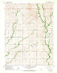
1965 · Aurora SW
USGS Topo · 1:24,000