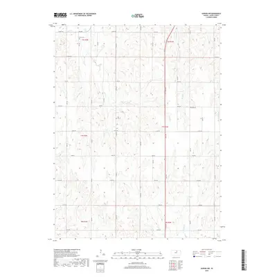
2018 Map of Aurora NW
USGS Topo · Published 2018About this map
Wilcox Cem and Hall Cem are situated within the rolling section lines of this rural Kansas landscape, where the headwaters of several drainages begin their descent. The map illustrates a strictly rectilinear road network, with routes like Co Rd 370, Hawk Rd, and Eagle Rd defining the grid of agricultural life in Cloud County. This 2018 survey detail shows how water remains the primary natural disruption to the human-imposed geometry of the land. Small creeks, including Wolf Cr and W Br Oak Cr, carve subtle valleys through the prairie. Near the eastern edge, Kindel Cem provides a final resting place along the plateau, while the winding path of W Pipe Cr suggests the gentle topography that dictates the drainage of the Solomon River watershed.
Find a feature on this map
30 named features on this map. Tap any name to fly to it.
Don’t see what you’re looking for? This feature index may not catch every label — zoom into the map to look around manually.
Map Details
Editions of this 2018 Aurora NW Map
This is the sole edition of this map. No revisions or reprints were ever made.
Other maps of this area

1892 · Concordia
USGS Topo · 1:125,000

1892 · Minneapolis
USGS Topo · 1:125,000

1952 · Glasco
USGS Topo · 1:24,000

1953 · Glasco NE
USGS Topo · 1:24,000

1955 · Manhattan
USGS Topo · 1:250,000

1956 · Manhattan
USGS Topo · 1:250,000

1957 · Manhattan
USGS Topo · 1:250,000

1964 · Lamar
USGS Topo · 1:24,000

1965 · Aurora
USGS Topo · 1:24,000
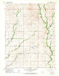
1965 · Aurora SW
USGS Topo · 1:24,000