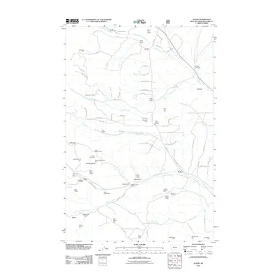
2011 Map of Austin
USGS Topo · Published 2011About this map
The rugged terrain of Lewis and Clark County is defined here by a dense concentration of hard-rock and placer mining operations. Settlements like Birdseye and Austin are surrounded by a complex network of gulches and ridges that speak to the area's extraction history, featuring notable sites such as the Dreadnaught/Paymaster Mine and the Silver Creek Placer Mine. This landscape is marked by steep elevation changes between Dreadnaught Hill and War Eagle Hill, with numerous named gulches like Sitzer Gulch and Jeff Davis Gulch directing the flow of local waters into Silver Creek and Threemile Creek. Local infrastructure is represented by the Silver City Airport and the Silver City Cemetery, while the Three Mile Reservoir Dam indicates water management crucial for both local industry and the scattered residential developments along roads like Birdseye Rd.
Find a feature on this map
88 named features on this map. Tap any name to fly to it.
Don’t see what you’re looking for? This feature index may not catch every label — zoom into the map to look around manually.
Map Details
Editions of this 2011 Austin Map
This is the sole edition of this map. No revisions or reprints were ever made.
Other maps of this area

1889 · Helena
USGS Topo · 1:250,000

1893 · Helena
USGS Topo · 1:250,000

1899 · Helena
USGS Topo · 1:62,500

1899 · Helena
USGS Topo · 1:250,000

1903 · Helena
USGS Topo · 1:250,000

1947 · Butte
USGS Topo · 1:250,000

1950 · Helena
USGS Topo · 1:62,500

1958 · Butte
USGS Topo · 1:250,000

1959 · Elliston
USGS Topo · 1:62,500

1960 · Butte
USGS Topo · 1:250,000