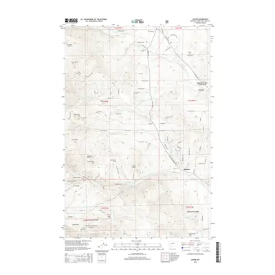
2014 Map of Austin
USGS Topo · Published 2014About this map
Helena National Forest lands dominate the southwestern portion of this Lewis and Clark County quadrangle, where a complex network of gulches and ridges defines the terrain. Prominent landmarks such as War Eagle Hill, Dreadnaught Hill, and Stemwinder Hill rise above the drainage systems of Silver Cr and Sevenmile Cr. The map documents the spatial relationship between smaller settlements like Austin and Birdseye and the expanding residential footprints of Helena Valley Northwest and Helena West Side. Cultural history is noted at the Silver City Cem along the northern edge of the sheet. The landscape is a mix of protected wilderness and developing rural communities, with numerous family-named features like Switzer Joe Gulch and East China Gulch hinting at the area's prospecting or homesteading past.
Find a feature on this map
87 named features on this map. Tap any name to fly to it.
Don’t see what you’re looking for? This feature index may not catch every label — zoom into the map to look around manually.
Map Details
Editions of this 2014 Austin Map
This is the sole edition of this map. No revisions or reprints were ever made.
Other maps of this area

1889 · Helena
USGS Topo · 1:250,000

1893 · Helena
USGS Topo · 1:250,000

1899 · Helena
USGS Topo · 1:62,500

1899 · Helena
USGS Topo · 1:250,000

1903 · Helena
USGS Topo · 1:250,000

1947 · Butte
USGS Topo · 1:250,000

1950 · Helena
USGS Topo · 1:62,500

1958 · Butte
USGS Topo · 1:250,000

1959 · Elliston
USGS Topo · 1:62,500

1960 · Butte
USGS Topo · 1:250,000