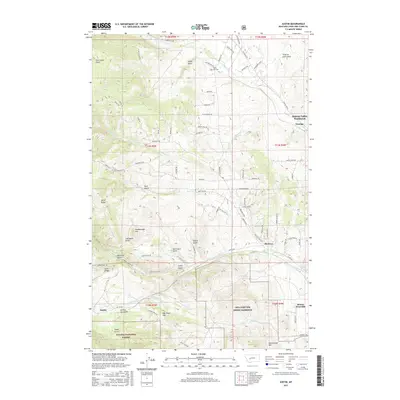
2017 Map of Austin
USGS Topo · Published 2017About this map
Silver City and Austin sit within a landscape defined by the complex drainages of the Helena National Forest and the foothills west of the state capital. The terrain is deeply incised by gulches named for early settlers and miners, including Sitzer Gulch, Jeff Davis Gulch, and Saint Louis Gulch. This geography highlights the late 19th-century resource extraction patterns common in the region, with elevations rising toward War Eagle Hill and Dreadnaught Hill.
Find a feature on this map
92 named features on this map. Tap any name to fly to it.
Don’t see what you’re looking for? This feature index may not catch every label — zoom into the map to look around manually.
Map Details
Editions of this 2017 Austin Map
This is the sole edition of this map. No revisions or reprints were ever made.
Other maps of this area

1889 · Helena
USGS Topo · 1:250,000

1893 · Helena
USGS Topo · 1:250,000

1899 · Helena
USGS Topo · 1:62,500

1899 · Helena
USGS Topo · 1:250,000

1903 · Helena
USGS Topo · 1:250,000

1947 · Butte
USGS Topo · 1:250,000

1950 · Helena
USGS Topo · 1:62,500

1958 · Butte
USGS Topo · 1:250,000

1959 · Elliston
USGS Topo · 1:62,500

1960 · Butte
USGS Topo · 1:250,000