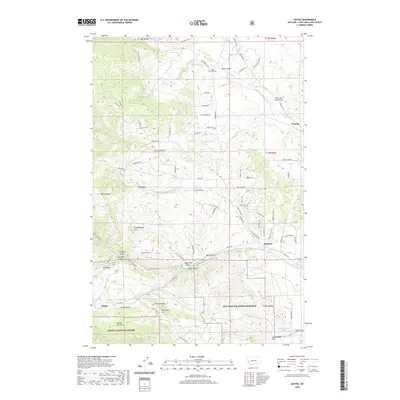
2020 Map of Austin
USGS Topo · Published 2020About this map
Austin sits at the foot of the Continental Divide in Lewis and Clark County, where the landscape is defined by a dense network of gulches and ridges within the Helena National Forest. This 2020 map documents a terrain rich with local history, including the Silver City Cem and the nearby training grounds of MTA Fort Wm Henry Harrison. To the east, the settlement of Birdseye is surrounded by high ground such as Eagle Ridge and Stemwinder Hill, while numerous springs like 11N05W13CBAA01 Spring dot the mountain slopes. The drainage patterns are intricate, with Sevenmile Cr and Threemile Cr carving through the granite. Historic mining and ranching legacies are suggested by local nomenclature like Trust-to-Luck Gulch, War Eagle Hill, and Skelly Gulch, illustrating the era's reliance on both mineral extraction and the natural waterways that flow toward the Missouri River basin.
Find a feature on this map
87 named features on this map. Tap any name to fly to it.
Don’t see what you’re looking for? This feature index may not catch every label — zoom into the map to look around manually.
Map Details
Editions of this 2020 Austin Map
This is the sole edition of this map. No revisions or reprints were ever made.
Other maps of this area

1889 · Helena
USGS Topo · 1:250,000

1893 · Helena
USGS Topo · 1:250,000

1899 · Helena
USGS Topo · 1:62,500

1899 · Helena
USGS Topo · 1:250,000

1903 · Helena
USGS Topo · 1:250,000

1947 · Butte
USGS Topo · 1:250,000

1950 · Helena
USGS Topo · 1:62,500

1958 · Butte
USGS Topo · 1:250,000

1959 · Elliston
USGS Topo · 1:62,500

1960 · Butte
USGS Topo · 1:250,000