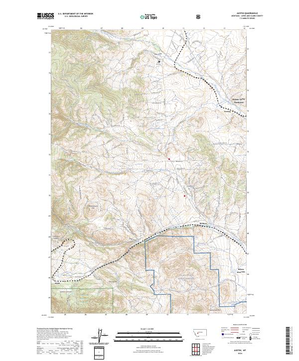
2024 Map of Austin
USGS Topo · Published 2024About this map
Silver City and the historic Austin community anchor this landscape west of the state capital, where the BNSF Railway winds through complex mountain terrain. The map details a transition from the structured grid of Helena Valley Northwest to the prominent ridges and gulches of the Helena National Forest. Military history is represented by the expansive grounds of NG MTA Ft Wm Henry Harrison, while local genealogy is rooted at the Silver City Cem.
Find a feature on this map
89 named features on this map. Tap any name to fly to it.
Don’t see what you’re looking for? This feature index may not catch every label — zoom into the map to look around manually.
Map Details
Editions of this 2024 Austin Map
This is the sole edition of this map. No revisions or reprints were ever made.
Other maps of this area

1889 · Helena
USGS Topo · 1:250,000

1893 · Helena
USGS Topo · 1:250,000

1899 · Helena
USGS Topo · 1:62,500

1899 · Helena
USGS Topo · 1:250,000

1903 · Helena
USGS Topo · 1:250,000

1947 · Butte
USGS Topo · 1:250,000

1950 · Helena
USGS Topo · 1:62,500

1958 · Butte
USGS Topo · 1:250,000

1959 · Elliston
USGS Topo · 1:62,500

1960 · Butte
USGS Topo · 1:250,000