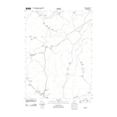
2010 Map of Austin
USGS Topo · Published 2010About this map
Austin serves as the focal point of this Potter County landscape, situated at the confluence of Freeman Run and West Branch Freeman Run. The geography is defined by a dense network of narrow drainages and named hollows, such as Bark Shanty Hollow and Gleason Hollow, which carve into the high plateaus of north-central Pennsylvania. Along the northern edge, the Allegheny River flows near the settlement of Mina, while the Ranch-Aero Airport provides a modern utility to this traditional rural area.
Find a feature on this map
79 named features on this map. Tap any name to fly to it.
Don’t see what you’re looking for? This feature index may not catch every label — zoom into the map to look around manually.
Map Details
Editions of this 2010 Austin Map
This is the sole edition of this map. No revisions or reprints were ever made.
Other maps of this area

1932 · Genesee
USGS Topo · 1:62,500

1934 · Coudersport
USGS Topo · 1:48,000

1937 · Genesee
USGS Topo · 1:62,500

1938 · Coudersport
USGS Topo · 1:62,500

1947 · Conrad
USGS Topo · 1:62,500

1947 · Conrad
USGS Topo · 1:24,000

1947 · Ayers Hill
USGS Topo · 1:24,000

1948 · Emporium
USGS Topo · 1:62,500

1948 · Keating Summit
USGS Topo · 1:24,000

1948 · Emporium
USGS Topo · 1:24,000