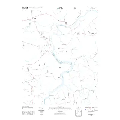
2013 Map of Austinville
USGS Topo · Published 2013About this map
Ivanhoe and Austinville anchor this reach of the New River in Wythe County, where the landscape is defined by the river's deep, winding bends and a history of industrial activity. The river's path is followed closely by the New River Valley Trail State Park, repurposing the corridor once dominated by the RR. This geography supported distinct riverside communities like Raketown, Byllesby, and Grayson. Away from the main channel, the terrain rises toward Farmers Mountain and Cold Ridge, while smaller settlements such as Sheep Town and Porters Crossroads dot the uplands. The presence of features like Thorn Ferry and Fossil Point indicates the importance of river crossings and the unique geological character of the valley. Local history is preserved in named landmarks like Pierce Mill and the junction at Fries Junction, illustrating the distribution of 19th and 20th-century life along the water's edge.
Find a feature on this map
122 named features on this map. Tap any name to fly to it.
Don’t see what you’re looking for? This feature index may not catch every label — zoom into the map to look around manually.
Map Details
Editions of this 2013 Austinville Map
This is the sole edition of this map. No revisions or reprints were ever made.
Other maps of this area

1889 · Hillsville
USGS Topo · 1:125,000

1889 · Wytheville
USGS Topo · 1:125,000

1892 · Hillsville
USGS Topo · 1:125,000

1892 · Wytheville
USGS Topo · 1:125,000

1896 · Hillsville
USGS Topo · 1:125,000

1930 · Speedwell
USGS Topo · 1:62,500

1930 · Independence
USGS Topo · 1:48,000

1930 · Max Meadows
USGS Topo · 1:62,500

1931 · Galax
USGS Topo · 1:48,000

1933 · Independence
USGS Topo · 1:62,500