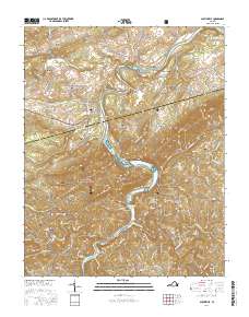
2016 Map of Austinville
USGS Topo · Published 2016About this map
New River carves a deep path through the heart of the Blue Ridge foothills on the Wythe and Carroll County border, where hydroelectric development at Byllesby Reservoir and Buck Reservoir has transformed the drainage patterns of Cripple Creek and Crooked Creek. The landscape is a mix of small settlements and family legacy, with villages like Byllesby and Raketown situated near the river's edge. A significant concentration of burial sites, including the Independent Order of Odd Fellows Cem near Ivanhoe and the Burnett-Oak Grove Cem, suggests a long-established rural community fabric. The transition from industrial rail utility to recreation is visible in the New River Valley Trail State Park, which follows the river's winding course. In the southwest, the Jefferson National Forest encompasses high ground like Ewing Mtn and Cold Ridge, overlooking agricultural pockets near Grayson and Fries Junction.
Find a feature on this map
121 named features on this map. Tap any name to fly to it.
Don’t see what you’re looking for? This feature index may not catch every label — zoom into the map to look around manually.
Map Details
Editions of this 2016 Austinville Map
This is the sole edition of this map. No revisions or reprints were ever made.
Other maps of this area

1889 · Hillsville
USGS Topo · 1:125,000

1889 · Wytheville
USGS Topo · 1:125,000

1892 · Hillsville
USGS Topo · 1:125,000

1892 · Wytheville
USGS Topo · 1:125,000

1896 · Hillsville
USGS Topo · 1:125,000

1930 · Speedwell
USGS Topo · 1:62,500

1930 · Independence
USGS Topo · 1:48,000

1930 · Max Meadows
USGS Topo · 1:62,500

1931 · Galax
USGS Topo · 1:48,000

1933 · Independence
USGS Topo · 1:62,500