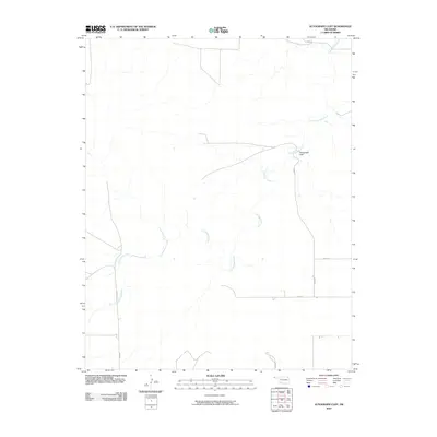
2010 Map of Autograph Cliff
USGS Topo · Published 2010About this map
Autograph Cliff stands as a prominent landmark in this section of Cimarron County, Oklahoma, overlooking the meandering path of Cold Springs Creek. The landscape is defined by a sparse network of section-line roads, such as E0160 Rd and N0200 Rd, which cut through the open plains of the Panhandle. This area is characterized by its wide-reaching drainage systems and minimal permanent structures, suggesting a region primarily dedicated to ranching or agriculture. The concentration of road identifiers like D0206 Rd and E0150 Rd surrounding the creek highlights how water sources historically influenced the layout of local infrastructure in this arid part of the state.
Find a feature on this map
9 named features on this map. Tap any name to fly to it.
Don’t see what you’re looking for? This feature index may not catch every label — zoom into the map to look around manually.
Map Details
Editions of this 2010 Autograph Cliff Map
This is the sole edition of this map. No revisions or reprints were ever made.
Other maps of this area

1954 · Dalhart
USGS Topo · 1:250,000

1958 · Dalhart
USGS Topo · 1:250,000

1962 · Dalhart
USGS Topo · 1:250,000

1968 · Autograph Cliff NW
USGS Topo · 1:24,000

1969 · Boise City
USGS Topo · 1:24,000

1969 · Boise City NW
USGS Topo · 1:24,000

1969 · Flagg Springs
USGS Topo · 1:24,000

1969 · Felt NE
USGS Topo · 1:24,000

1969 · Kenton SE
USGS Topo · 1:24,000
1969 · Autograph Cliff
USGS Topo · 1:24,000