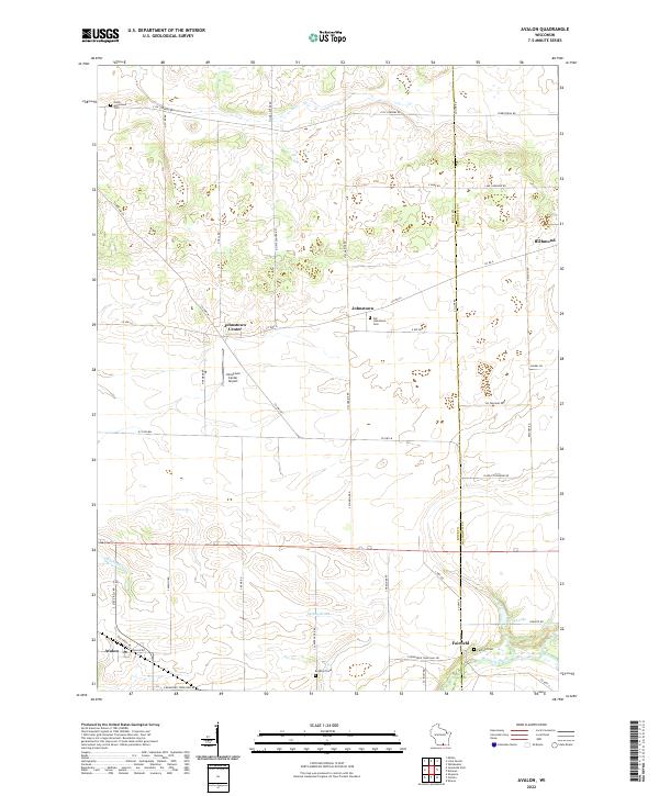
2022 Map of Avalon
USGS Topo · Published 2022About this map
Avalon and Johnstown Center anchor a landscape defined by the agricultural rhythms and township boundaries of the Rock County and Walworth County line. The map highlights a network of rural settlements, including Richmond and Fairfield, connected by a grid of thoroughfares like Co Hwy A and S State Rd 140. This topography is bisected by several watercourses, most notably Turtle Creek and Spring Brook, which create low-lying drainage patterns across the otherwise steady terrain.
Find a feature on this map
50 named features on this map. Tap any name to fly to it.
Don’t see what you’re looking for? This feature index may not catch every label — zoom into the map to look around manually.
Map Details
Editions of this 2022 Avalon Map
This is the sole edition of this map. No revisions or reprints were ever made.
Historical Maps of Fairfield Through Time
14 maps found
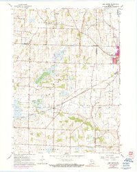
1960 Lima Center
Rock County, WI
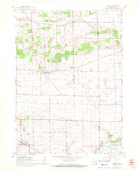
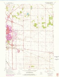
1961 Avalon
Rock County, WI
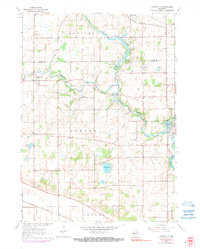
1961 Cooksville
Rock County, WI
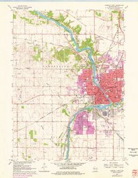
1961 Janesville East
Rock County, WI
1961 Janesville West
Rock County, WI
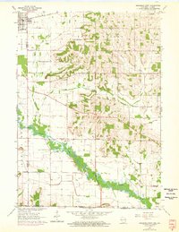
1962 Brodhead East
Rock County, WI
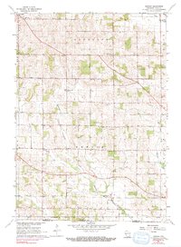
1962 Newark
Rock County, WI
2022 Avalon
Rock County, WI
2022 Brodhead East
Rock County, WI
2022 Cooksville
Rock County, WI
2022 Janesville East
Rock County, WI
2022 Janesville West
Rock County, WI
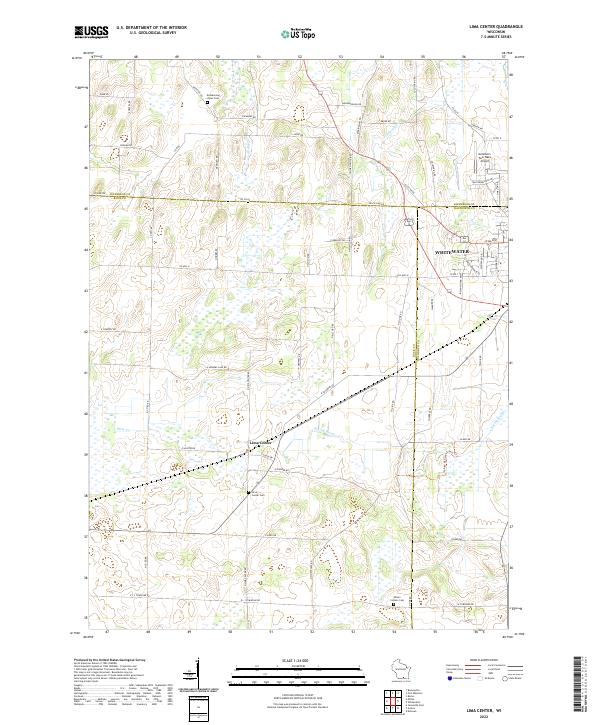
2022 Lima Center
Rock County, WI
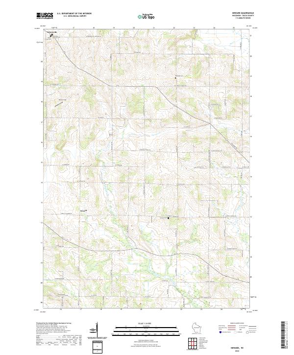
2022 Newark
Rock County, WI