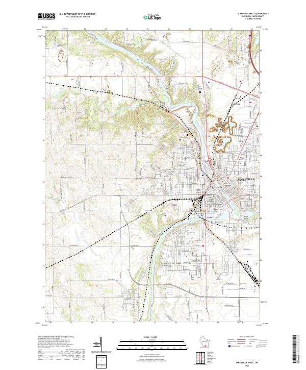
2022 Map of Janesville West
USGS Topo · Published 2022About this map
Janesville is depicted here during a period of modern expansion along the Rock River, showcasing a landscape where civic institutions and residential growth meet the river's winding path. The western reaches of the city are anchored by significant local history landmarks, including the Rock County Courthouse and the University of Wisconsin - Rock County campus. The spatial arrangement of the city is clearly defined by historic burying grounds like Mount Olivet Cem, Oak Hill Cem, and the Rock County Farm Cem, which offer vital touchstones for genealogical research.
Find a feature on this map
83 named features on this map. Tap any name to fly to it.
Don’t see what you’re looking for? This feature index may not catch every label — zoom into the map to look around manually.
Map Details
Editions of this 2022 Janesville West Map
This is the sole edition of this map. No revisions or reprints were ever made.
Other maps of this area

1890 · Stoughton
USGS Topo · 1:62,500

1891 · Koshkonong
USGS Topo · 1:62,500

1891 · Janesville
USGS Topo · 1:62,500

1893 · Janesville
USGS Topo · 1:62,500

1893 · Shopiere
USGS Topo · 1:62,500

1894 · Koshkonong
USGS Topo · 1:62,500

1906 · Koshkonong
USGS Topo · 1:62,500

1954 · Rockford
USGS Topo · 1:250,000

1955 · Rockford
USGS Topo · 1:250,000

1958 · Rockford
USGS Topo · 1:250,000