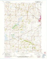
1960 Map of Lima Center
USGS Topo · Published 1990About this map
Lima Center and Utters Corners anchor this rural landscape in southeastern Wisconsin during the mid-twentieth century. The area is characterized by a dense network of country roads and agricultural parcels spanning the townships of Koshkonong, Lima, Johnstown, and Richmond. Evidence of early settlement and community life is visible in the placement of the North Lima Ch, Lima Center Cem, and Union Cem. The Chicago Milwaukee St Paul and Pacific railroad cuts diagonally across the terrain, serving the eastern hub of Whitewater. The hydrology of the region is defined by winding watercourses including Whitewater Creek and Spring Brook, which weave through the drumlin-dotted topography characteristic of this part of Rock and Walworth counties.
Find a feature on this map
22 named features on this map. Tap any name to fly to it.
Don’t see what you’re looking for? This feature index may not catch every label — zoom into the map to look around manually.
Map Details
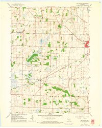
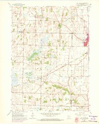
Editions of this 1960 Lima Center Map
3 editions found
Other maps of this area

1891 · Koshkonong
USGS Topo · 1:62,500

1892 · Whitewater
USGS Topo · 1:62,500

1893 · Delavan
USGS Topo · 1:62,500

1893 · Whitewater
USGS Topo · 1:62,500

1893 · Shopiere
USGS Topo · 1:62,500

1894 · Koshkonong
USGS Topo · 1:62,500

1903 · Whitewater
USGS Topo · 1:62,500

1906 · Koshkonong
USGS Topo · 1:62,500

1924 · Whitewater
USGS Topo · 1:62,500

1954 · Rockford
USGS Topo · 1:250,000