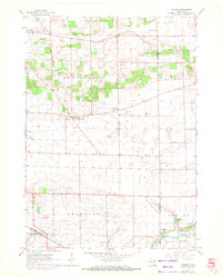
1961 Map of Avalon
USGS Topo · Published 1972About this map
Johnstown Center and Avalon anchor this agricultural landscape in the early 1960s, a period where the rural section lines of Johnstown and Bradford townships remained largely defined by family farms and small crossroad communities. The southern edge of the map is dominated by the Chicago Milwaukee St Paul and Pacific railroad corridor, which links the grain-handling site at Avalon to the broader regional economy. The presence of multiple small burial grounds, including North Johnstown Cem and Bradford Cem, alongside local institutions like Ritters Corners Sch and Bradford Sch, highlights the deep-rooted settlement patterns of these Wisconsin townships. In the southeast, Turtle Creek and Trout Lake provide natural drainage near Fairfield, while numerous Gravel Pits scattered across the northern sections suggest local industry tied to the glacial geology of the region.
Find a feature on this map
22 named features on this map. Tap any name to fly to it.
Don’t see what you’re looking for? This feature index may not catch every label — zoom into the map to look around manually.
Map Details
Editions of this 1961 Avalon Map
2 editions found
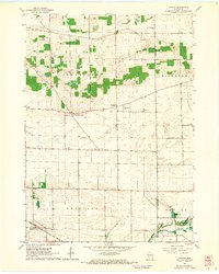
Other maps of this area

1891 · Koshkonong
USGS Topo · 1:62,500

1892 · Whitewater
USGS Topo · 1:62,500

1893 · Delavan
USGS Topo · 1:62,500

1893 · Whitewater
USGS Topo · 1:62,500

1893 · Shopiere
USGS Topo · 1:62,500

1894 · Koshkonong
USGS Topo · 1:62,500

1903 · Whitewater
USGS Topo · 1:62,500

1906 · Koshkonong
USGS Topo · 1:62,500

1924 · Whitewater
USGS Topo · 1:62,500

1954 · Rockford
USGS Topo · 1:250,000