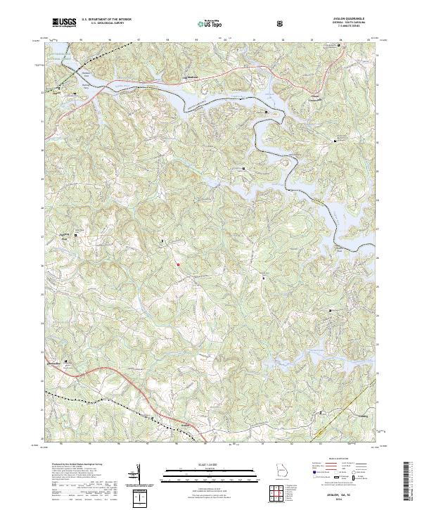
2024 Map of Avalon
USGS Topo · Published 2024About this map
The Tugaloo River forms the state boundary between Georgia and South Carolina, defining the northern landscape of this region. This modern survey illustrates how the creation of Hartwell Lake has altered the valley, while still preserving historic crossing points and local landmarks. To the west, the Chattahoochee National Forest borders early settlements like Jarrett and the Travelers Rest historic site.
Find a feature on this map
62 named features on this map. Tap any name to fly to it.
Don’t see what you’re looking for? This feature index may not catch every label — zoom into the map to look around manually.
Map Details
Editions of this 2024 Avalon Map
This is the sole edition of this map. No revisions or reprints were ever made.
Other maps of this area

1886 · Walhalla
USGS Topo · 1:125,000

1891 · Carnesville
USGS Topo · 1:125,000

1892 · Walhalla
USGS Topo · 1:125,000

1896 · Walhalla
USGS Topo · 1:125,000

1954 · Greenville
USGS Topo · 1:250,000

1957 · Tugaloo Lake
USGS Topo · 1:24,000

1958 · Greenville
USGS Topo · 1:250,000

1959 · Lavonia
USGS Topo · 1:24,000

1960 · Martin
USGS Topo · 1:24,000
1963 · Westminster
USGS Topo · 1:24,000