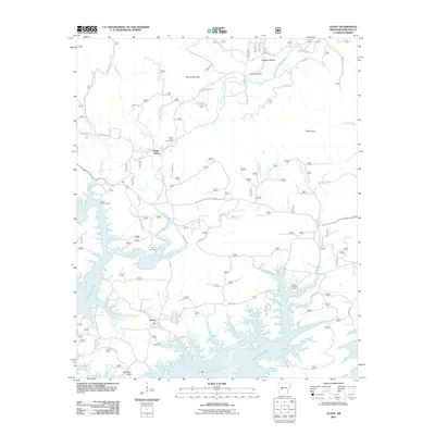
2011 Map of Avant
USGS Topo · Published 2011About this map
Avant sits at the center of this 2011 survey, marking a settled point where the topography descends toward the intricate northern fingers of Lake Ouachita. The landscape is defined by the convergence of several major watercourses, including the North Fork Ouachita River and Irons Fork, which feed the reservoir. For genealogists and local historians, the sheet is exceptionally well-documented with family and community landmarks such as Caldwell Cemetery, Mount Tabor Cemetery, and the Daley Cemetery.
Find a feature on this map
44 named features on this map. Tap any name to fly to it.
Don’t see what you’re looking for? This feature index may not catch every label — zoom into the map to look around manually.
Map Details
Editions of this 2011 Avant Map
This is the sole edition of this map. No revisions or reprints were ever made.
Other maps of this area

1890 · Hot Springs
USGS Topo · 1:125,000

1894 · Hot Springs
USGS Topo · 1:125,000

1955 · Little Rock
USGS Topo · 1:250,000

1956 · Little Rock
USGS Topo · 1:250,000

1960 · Little Rock
USGS Topo · 1:250,000

1962 · Crystal Springs
USGS Topo · 1:24,000

1962 · Avant
USGS Topo · 1:24,000

1962 · Fannie
USGS Topo · 1:24,000

1962 · Mc Graw Mountain
USGS Topo · 1:24,000

1964 · Little Rock
USGS Topo · 1:250,000