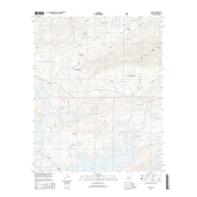
2014 Map of Avant
USGS Topo · Published 2014About this map
Avant and the surrounding wilderness of the Ouachita National Forest define this landscape where the North Fork Ouachita River meets the northern reaches of Lake Ouachita. The map reveals a transition from the high peaks of Blue Ouachita Mtn and Pilot Knob to the flooded valleys of the reservoir. A network of timber and forest roads, including Logtruck Rd and Tabor Mountain Rd, crisscrosses the terrain, indicating the ongoing intersection of industry and recreation. For those tracing family histories in Garland County, several burial sites are documented across the varying elevations, from Avant Cem near the settlement to the more secluded Mt Tabor Cem and Caldwell Cem. The topography is dominated by numerous hollows and knobs, such as Hogpen Hollow and Gobblers Knob, while Daley Cr and Cedar Fourche Cr feed into the larger water systems.
Find a feature on this map
55 named features on this map. Tap any name to fly to it.
Don’t see what you’re looking for? This feature index may not catch every label — zoom into the map to look around manually.
Map Details
Editions of this 2014 Avant Map
This is the sole edition of this map. No revisions or reprints were ever made.
Other maps of this area

1890 · Hot Springs
USGS Topo · 1:125,000

1894 · Hot Springs
USGS Topo · 1:125,000

1955 · Little Rock
USGS Topo · 1:250,000

1956 · Little Rock
USGS Topo · 1:250,000

1960 · Little Rock
USGS Topo · 1:250,000

1962 · Crystal Springs
USGS Topo · 1:24,000

1962 · Avant
USGS Topo · 1:24,000

1962 · Fannie
USGS Topo · 1:24,000

1962 · Mc Graw Mountain
USGS Topo · 1:24,000

1964 · Little Rock
USGS Topo · 1:250,000