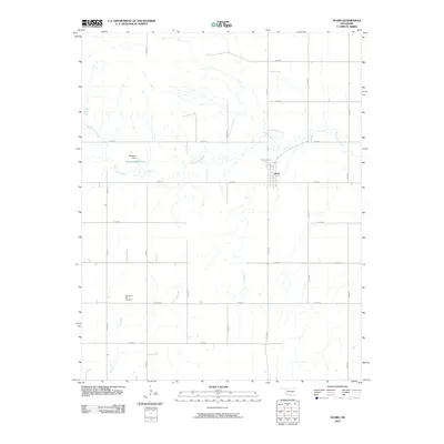
2010 Map of Avard
USGS Topo · Published 2010About this map
Avard anchors this rural landscape in Woods County, situated where the high plains meet the winding drainage of Eagle Chief Creek. The settlement remains defined by its grid layout and proximity to water resources, including Avard Lake and the nearby Buckland Reservoir, which is held by the Buckland Dam. The terrain is marked by a network of sectional roads, such as N2370 Rd and E0220 Rd, that facilitate movement across the agricultural land. In the southwestern quadrant, the Memorial Hill Cemetery provides a focal point for genealogical interest, while the path of Dog Creek carves a natural corridor through the southern reaches of the quadrangle. The map illustrates a modern era of rural Oklahoma, where man-made infrastructure like reservoirs and dams has modified the traditional prairie waterways to support the surrounding ranching and farming community.
Find a feature on this map
22 named features on this map. Tap any name to fly to it.
Don’t see what you’re looking for? This feature index may not catch every label — zoom into the map to look around manually.
Map Details
Editions of this 2010 Avard Map
This is the sole edition of this map. No revisions or reprints were ever made.
Other maps of this area

1955 · Woodward
USGS Topo · 1:250,000

1958 · Woodward
USGS Topo · 1:250,000

1969 · Tegarden SE
USGS Topo · 1:24,000

1969 · Dacoma SW
USGS Topo · 1:24,000

1969 · Waynoka NW
USGS Topo · 1:24,000

1969 · Hopeton
USGS Topo · 1:24,000

1969 · Avard
USGS Topo · 1:24,000

1969 · Waynoka East
USGS Topo · 1:24,000

1969 · Tegarden
USGS Topo · 1:24,000

1969 · Waynoka West
USGS Topo · 1:24,000