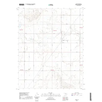
2022 Map of Avard
USGS Topo · Published 2022About this map
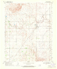
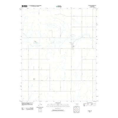
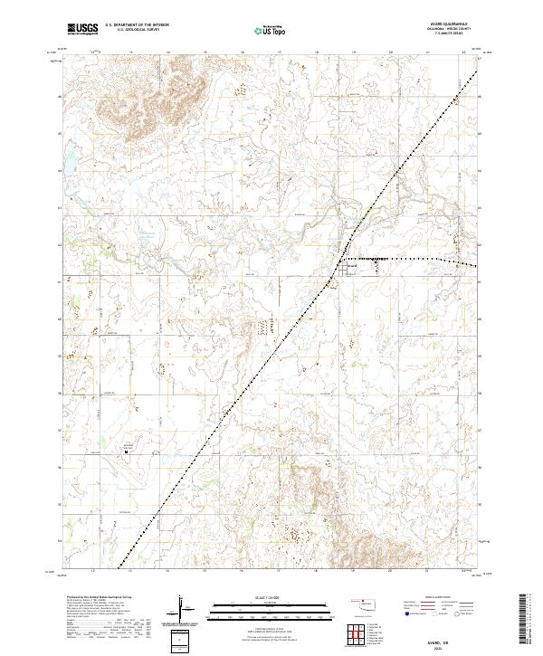
The small community of Avard serves as a focal point within this Woods County landscape, situated at the junction of Eagle Chief Ave and Virginia ST. The surrounding terrain is defined by the winding course of Eagle Chief Cr, which feeds into local water features like Avard Lake and the Buckland Reservoir further west. A grid of section-line roads, including Garvin Rd and Ellis Rd, organizes the agricultural territory, providing access to more remote locations. To the southwest, Memorial Hill Cem stands as a significant local landmark for genealogical research. The map illustrates the persistent structure of Oklahoma's rural land system, where the township and range boundaries—such as t26n r15w and t25n r15w—continue to dictate the placement of farm-to-market roads and property lines long after the initial settlement era.
Find a feature on this map
31 named features on this map. Tap any name to fly to it.
Don’t see what you’re looking for? This feature index may not catch every label — zoom into the map to look around manually.
Map Details
Editions of this 2022 Avard Map
This is the sole edition of this map. No revisions or reprints were ever made.
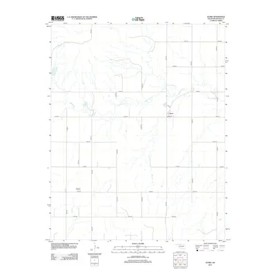
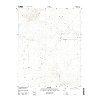
Historical Maps of Avard Through Time
6 maps found