
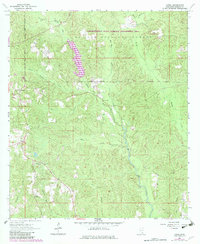
1964 Map of Avera
USGS Topo · Published 1965About this map
Avera and the surrounding piney woods of De Soto National Forest dominate this mid-century topographic record of Greene County. The settlement at Avera is clearly detailed alongside Bothwell to the north, showing the rural road network and scattered homesteads that define this part of the Mississippi interior. Local spiritual and family history is anchored by the Mutual Rights Ch and James Cem, providing essential markers for genealogical research in the region.
Find a feature on this map
24 named features on this map. Tap any name to fly to it.
Don’t see what you’re looking for? This feature index may not catch every label — zoom into the map to look around manually.
Map Details
Editions of this 1964 Avera Map
3 editions found
Other maps of this area

1947 · Beaumont
USGS Topo · 1:62,500

1949 · Beaumont
USGS Topo · 1:62,500

1953 · Hattiesburg
USGS Topo · 1:250,000

1958 · Hattiesburg
USGS Topo · 1:250,000

1963 · Brewer
USGS Topo · 1:24,000

1964 · Knobtown
USGS Topo · 1:24,000

1964 · Clark
USGS Topo · 1:24,000

1964 · Mulberry
USGS Topo · 1:24,000

1964 · Piave
USGS Topo · 1:24,000

1972 · Leakesville
USGS Topo · 1:24,000